landmark
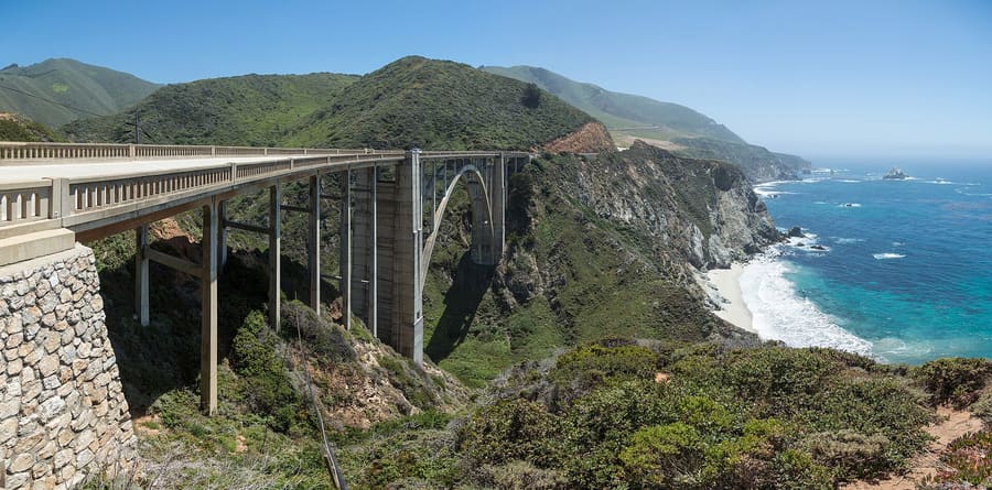
Bixby Creek Bridge
The 714-foot concrete arch bridge built in 1932. Park in the northern turnouts for clean photography angles without walking on the road.
Parley fragenVereinigte Staaten
Ninety miles of granite cliffs, redwoods, and fog.
introduction
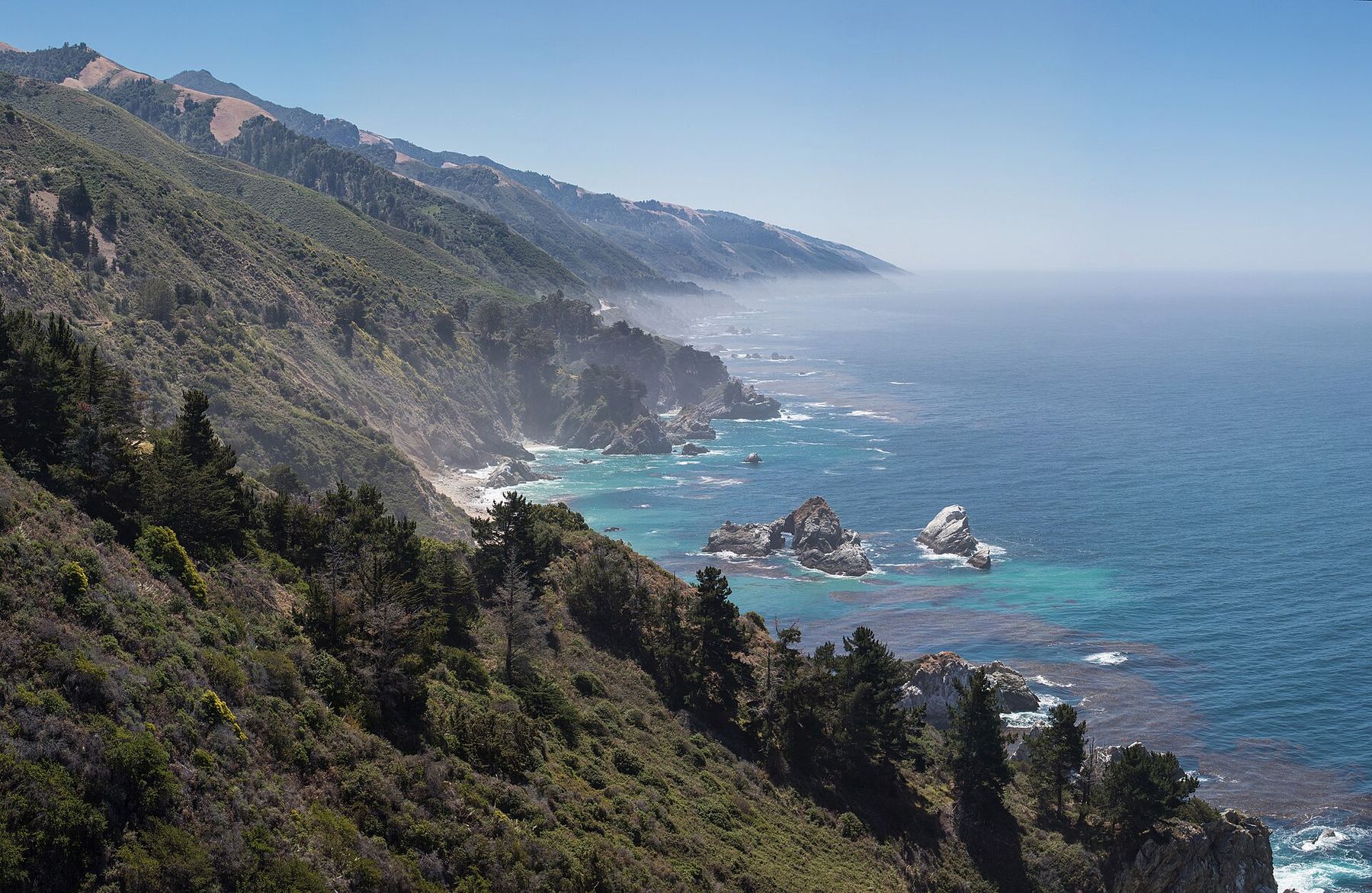
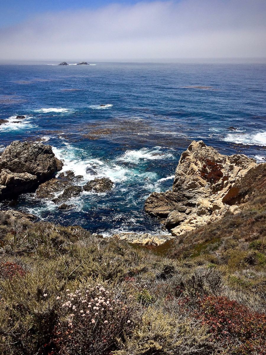
Big Sur is not a city with a central square. It is a 90-mile stretch of Highway 1 pinned between the Santa Lucia Mountains and the Pacific Ocean. You come here to drive coastal switchbacks, hike through coastal redwoods, and unplug when cellular service drops to zero.
Download offline maps beforehand
Cellular reception cuts out south of Carmel and stays dark for most of the corridor. Save offline maps and confirmation numbers before setting out.
State Scenic Highway Designation
California designated Highway 1 through Big Sur as its first official State Scenic Highway in 1965 to restrict commercial billboard development.
Fill your fuel tank in Carmel
Gasoline along Highway 1 in Big Sur costs up to fifty percent more than in Monterey or Carmel. Fill your fuel tank before crossing the region line.
Big Sur
Peter D. Tillman from USA · CC BY-SA 2.0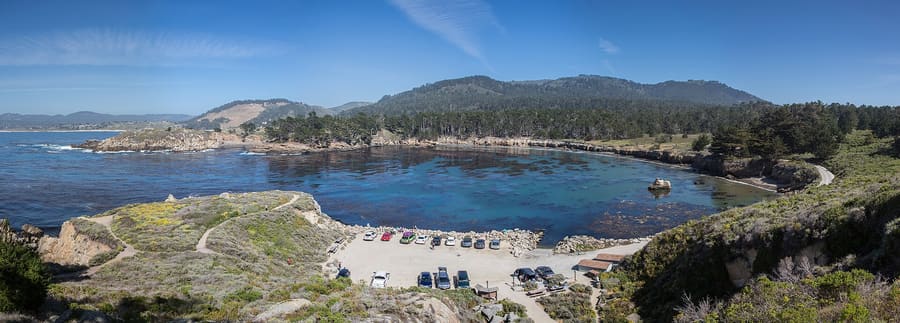
North Coast — Windy bluffs, ocean headlands, and immediate access from Carmel.
Diliff · CC BY-SA 3.0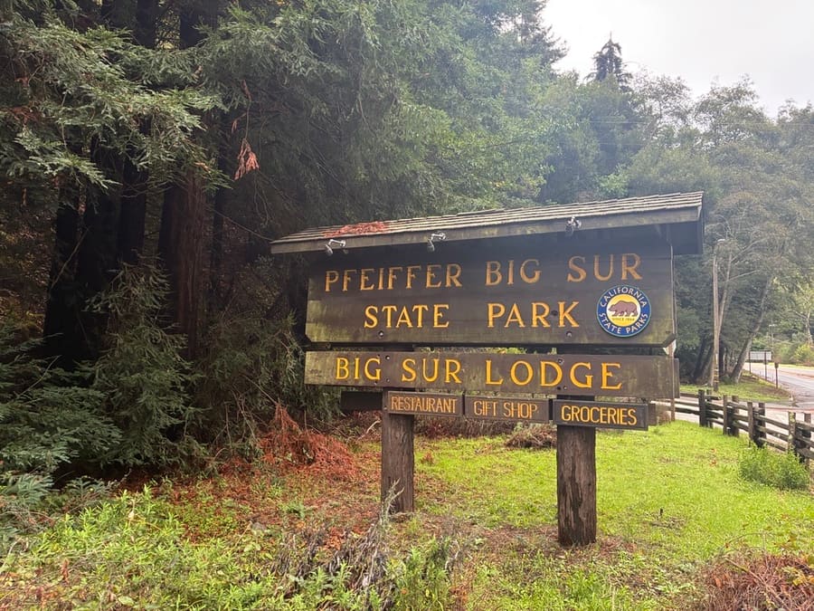
Big Sur Valley — Dense redwood groves, riverbanks, and central services.
Bigsursectorstaff · CC0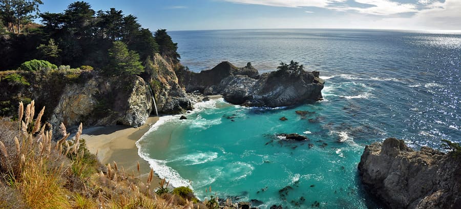
South Coast — Remote coves, quiet trailheads, and dramatic drop-offs.
Wordydave · CC BY-SA 3.0highlights
landmark
The 714-foot concrete arch bridge built in 1932. Park in the northern turnouts for clean photography angles without walking on the road.
Parley fragen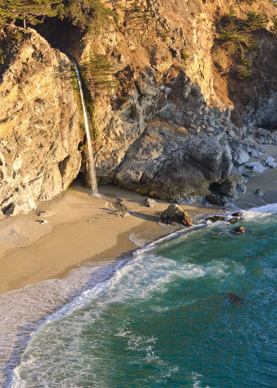
landmark
An 80-foot waterfall dropping straight onto a sandy cove beach. The trail ends at the overlook; stepping onto the beach below is illegal.
Parley fragen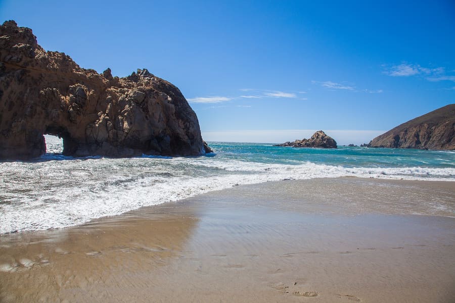
landmark
Purple manganese garnet sand and a natural keyhole arch in the surf. Sycamore Canyon Road is single-lane and closes when the lot fills.
Parley fragen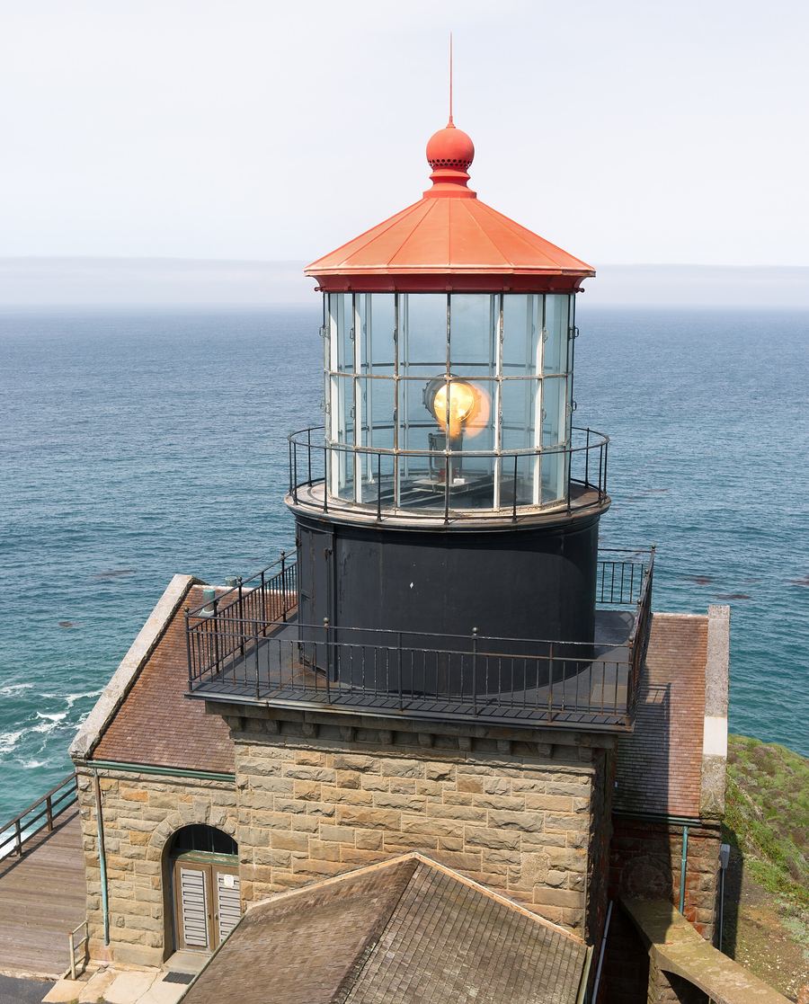
landmark
A 1889 lighthouse sitting atop a 361-foot volcanic rock. Access is by guided tour only on specific morning schedules.
Parley fragen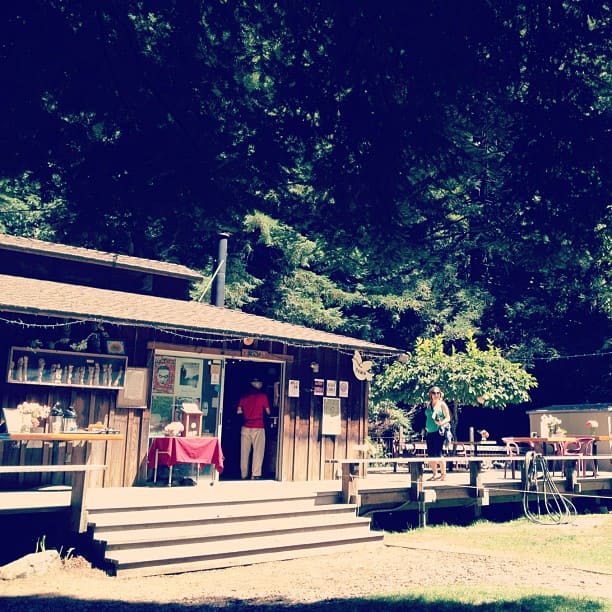
landmark
A non-profit bookstore and performance venue hidden in redwoods. It sells rare books and hosts small evening concerts.
Parley fragenattractions
areas
Windy bluffs, ocean headlands, and immediate access from Carmel.
In der NäheCarmel-by-the-Sea and Point Lobos
Parley fragenDense redwood groves, riverbanks, and central services.
In der NähePfeiffer Big Sur State Park
Parley fragenRemote coves, quiet trailheads, and dramatic drop-offs.
In der NäheJulia Pfeiffer Burns State Park
Parley fragenfood
Dining in Big Sur revolves around two formats: roadside bakery goods and cliffside dining rooms with Pacific views. Food supplies arrive via Highway 1, making ingredients expensive and menus focused. Big Sur Bakery serves hearth-baked bread and seasonal pizzas inside a converted ranch house. Up the road at Nepenthe, diners sit on a outdoor terrace looking out over Monterey Bay National Marine Sanctuary while eating burgers and drinking California pinot noir.
All food comes down a single highway. Expect entrees to run higher than Monterey or Santa Cruz prices.
Pick up sandwiches at the Big Sur Deli or bring groceries from Carmel to avoid waiting in restaurant lines during peak lunch hours.
history
Before paved access, the Esselen Tribe inhabited these canyons for thousands of years. Homesteaders arrived in the late 19th century, grazing cattle and logging redwoods in relative isolation. Construction on Highway 1 began in 1919 using convict labor and took eighteen years to carve through solid granite cliffs. Opening in 1937, the road connected isolated settlements to the state economy and attracted writers like Henry Miller and Jack Kerouac seeking quiet retreats.
Highway Construction Begins
California starts carving Highway 1 using convict labor and dynamite across granite sea cliffs.
Bixby Bridge Completes
Engineers complete the 320-foot high arch bridge, solving the region's hardest river crossing.
Highway 1 Opens
The Carmelo-San Simeon Highway opens, replacing three-day mule trips with a three-hour drive.
Scenic Highway Status
State designates Big Sur as the first California Scenic Highway, banning billboards and high-rise development.
where to stay
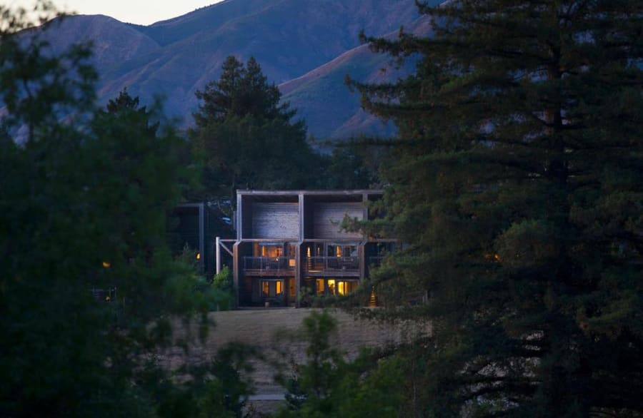
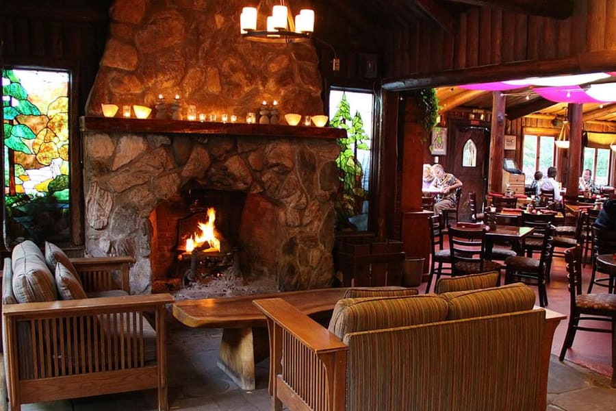
Choose your accommodation by elevation and atmosphere. River-level cabins in the valley offer shade under redwoods, while cliff-top resorts provide unhindered Pacific views at steep nightly rates.
Live rates, matched to the areas above.
transport
A private vehicle is essential for exploring Big Sur. Public transportation is limited to seasonal bus service between Monterey and Nepenthe.
Ab Monterey Regional Airport (MRY)
Essential for Big Sur. Pick up at MRY terminal. Check Caltrans QuickMap for Hwy 1 closures.
Seasonal route (Monterey to Nepenthe). Connect via Line 94 from MRY to Monterey Transit Plaza.
Must pre-arrange round trip. Uber and Lyft do not operate in Big Sur due to lack of cell signal.
Turnouts exist every few miles. Use them to let faster traffic pass if cars stack up behind you.
Heavy rain causes landslides that close sections of Highway 1 for months. Check Caltrans QuickMap for road status before driving.
Uber and Lyft do not operate in Big Sur due to zero cell signal and long distances between towns.
cost
Big Sur charges a premium for its isolation. Fuel, food, and lodging carry higher price tags than surrounding coastal cities.
One $10 day pass covers entry to all California State Parks along Big Sur on the same day.
Expect to pay around $25 for a burger or sandwich at local roadside spots.
Standard rustic cabins in the valley start around $300 per night in high season.
Local gas stations charge significantly above California state averages due to transport costs.
seasonality
SEP – NOV
Clear skies and warmer water temperatures. Fog recedes, making this the ideal window for hiking and coastal visibility.
DEC – FEB
Winter storms bring heavy rainfall and risk of mudslides. Whale watching peaks as gray whales migrate south.
MAR – MAY
Wildflowers bloom along coastal bluffs. Spring waterfalls run at maximum volume after winter rains.
JUN – AUG
Dense marine fog thickens along the coast. Summer crowds pack turnouts while valley temperatures stay mild.
practicalities
Download offline maps for the entire Monterey-to-San Simeon corridor before driving out of Carmel.
Coastal temperatures swing dramatically when fog rolls in. Keep a windbreaker in your car at all times.
Poison oak grows aggressively along Big Sur trails. Learn to identify its three shiny leaves and stay on marked paths.
Some state park fee booths lack reliable internet and accept cash only for day passes.
Riptides and sleeper waves make swimming unsafe at almost all Big Sur beaches. Stay well back from wet rocks.