landmark
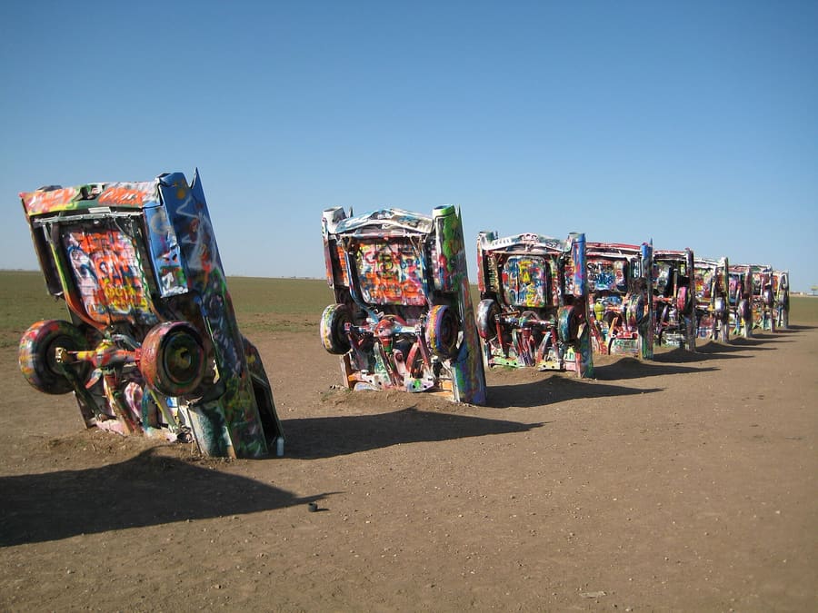
Cadillac Ranch
Ten half-buried Cadillacs installed in 1974. Bring spray paint to leave your mark; rain and visitors repaint them daily.
Ρωτήστε το ParleyΗνωμένες Πολιτείες
Cadillacs, red canyons, and Panhandle plains.
introduction
Amarillo sits high on the Texas Panhandle plains along Interstate 40. You need a car to navigate its wide grid and spread-out landmarks. The city trades on cattle ranching history, Route 66 nostalgia, and open skies. Expect stark outdoor landscapes framed by long stretches of highway.
Arrival trick
Rick Husband Amarillo International Airport sits 10 miles east of downtown with no public transit. Renting a car at the terminal is mandatory for getting around.
Palo Duro scale
Palo Duro Canyon State Park is the second-largest canyon in the United States. It stretches 120 miles long and drops up to 800 feet to the valley floor.
Planning trick
Amarillo sits at an elevation of 3,600 feet on the Llano Estacado. Temperatures swing wildly within a single day, making layers essential year-round.
Amarillo
Leaflet · CC BY-SA 3.0
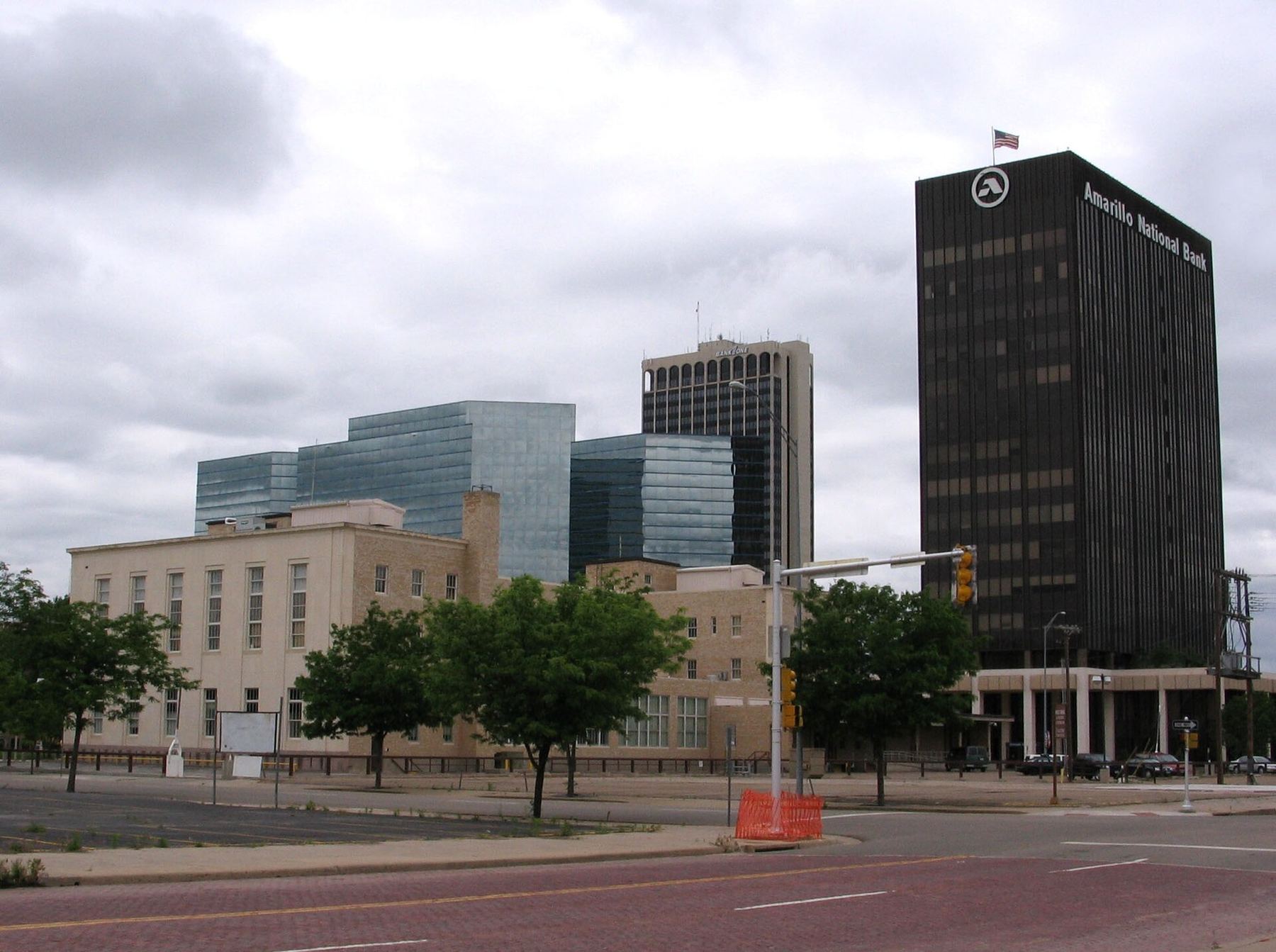
Downtown Amarillo — Historic commercial buildings, renovated hotels, and wide deserted streets after business hours.
Who What Where Nguyen Why · CC BY-SA 3.0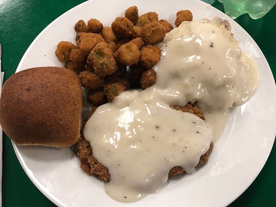
Chicken-fried steak served with cream gravy is a Panhandle staple.
LeeMNichols · CC BY-SA 4.0highlights
landmark
Ten half-buried Cadillacs installed in 1974. Bring spray paint to leave your mark; rain and visitors repaint them daily.
Ρωτήστε το Parley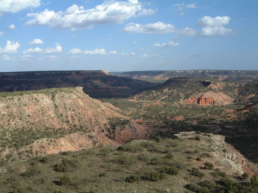
landmark
Red rock canyons 25 miles south of town. Drive down to the canyon floor early in the morning before sun exposure peaks.
Ρωτήστε το Parley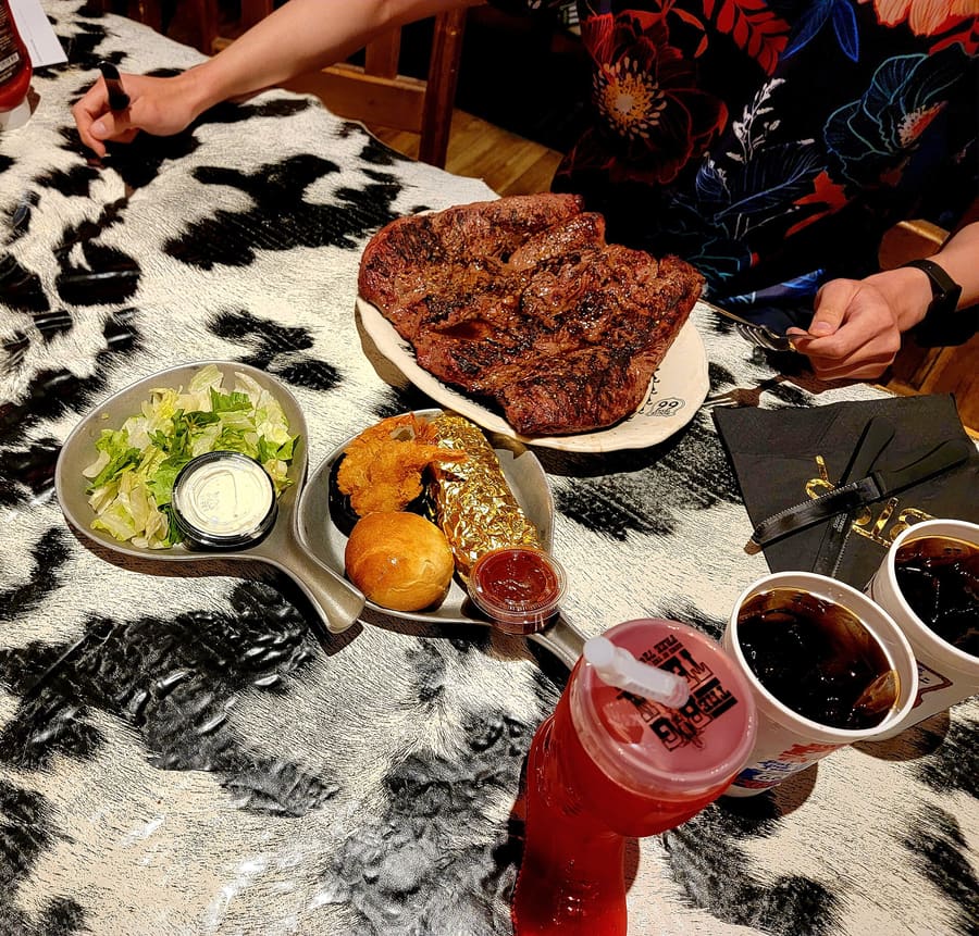
landmark
Famous for its 72-ounce steak challenge. Expect heavy crowds and a theatrical roadhouse atmosphere right on Interstate 40.
Ρωτήστε το Parley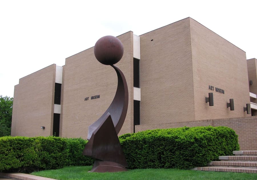
landmark
Located on the Amarillo College campus with strong Asian art collections. Admission is free year-round.
Ρωτήστε το Parleyattractions
areas
Historic commercial buildings, renovated hotels, and wide deserted streets after business hours.
ΚοντάHodgetown Stadium and civic centers.
Ρωτήστε το Parley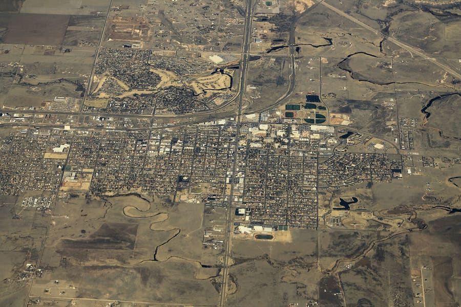
Small university town setting 18 miles south of Amarillo with a historic square.
ΚοντάPalo Duro Canyon and Panhandle-Plains Historical Museum.
Ρωτήστε το ParleyMid-century commercial strip packed with antique shops, diners, and neon signs.
ΚοντάSixth Avenue shops and local pubs.
Ρωτήστε το ParleyHigh-density highway corridor with big-box hotels, gas stations, and steak joints.
ΚοντάThe Big Texan and airport access.
Ρωτήστε το Parleyfood
Panhandle dining centers on beef and traditional Texan comfort food. Feedlots encircle the region, making grain-fed beef the local staple. Portion sizes skew large, and casual attire is acceptable everywhere.
Chicken-fried steak served with cream gravy is a Panhandle staple.
LeeMNichols · CC BY-SA 4.0The Big Texan is an event, not just a meal. Expect hour-long waits during peak dinner times unless you go before 17:00.
Local burritos rely on flour tortillas packed with eggs, brisket, or potatoes. Order at drive-thru counters along I-40 or 6th Avenue.
Independent cafes often close on Sundays and Mondays. Plan your food stop around national chains or highway diners on those days.
history
Amarillo grew out of the Fort Worth and Denver City Railroad construction in 1887. Originally named Berry, it was renamed Amarillo (Spanish for yellow) after the yellow clay along nearby creek banks. Cattle ranching quickly established the city as a major shipping hub.
Railroad Settlement
Railroad tracks reach the area, establishing a tent city that quickly becomes a regional cattle shipping center.
Gas Field Discovery
Natural gas is discovered nearby, turning Amarillo into a major industrial and energy production hub.
Route 66 Commissioned
U.S. Route 66 passes through the city, fueling a wave of motels, diners, and neon signs along 6th Avenue.
Cadillac Ranch Created
Art collective Ant Farm installs ten Cadillacs nose-down in a wheat field funded by local eccentric Stanley Marsh 3.
where to stay
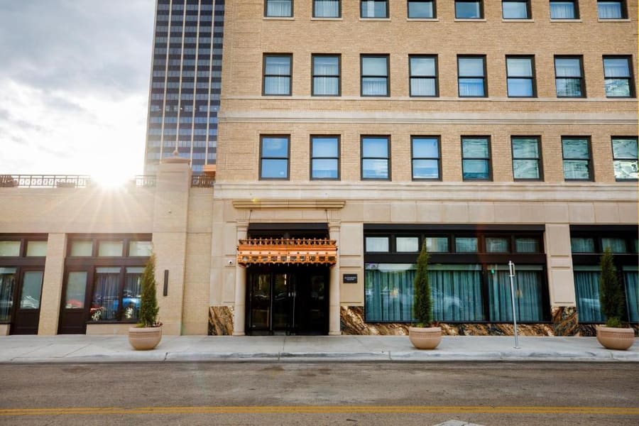
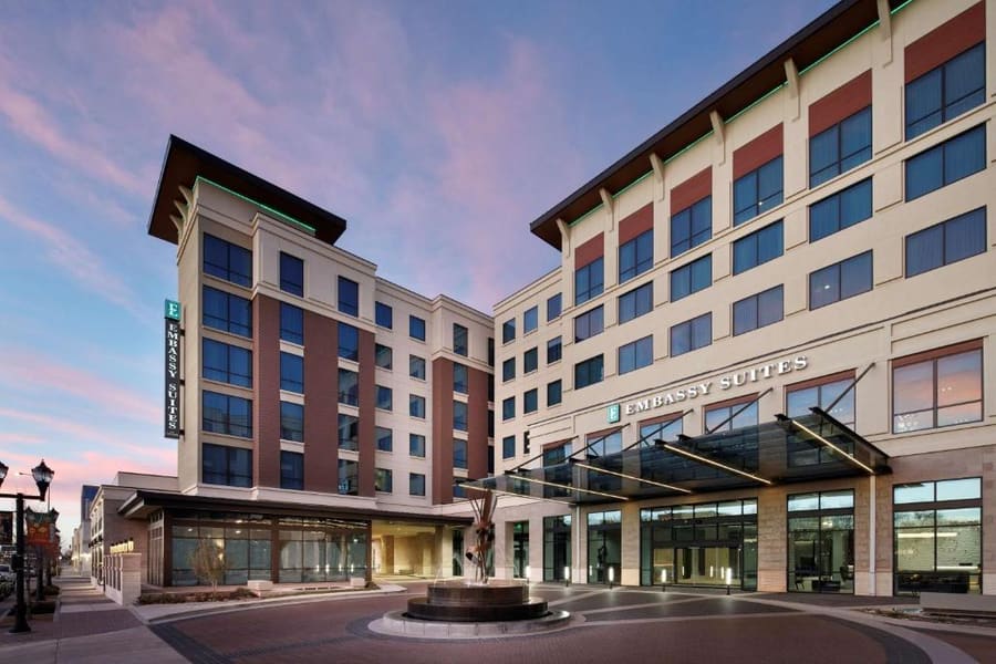
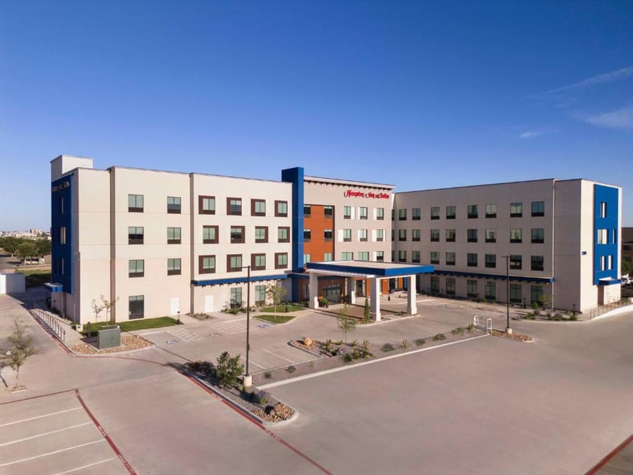
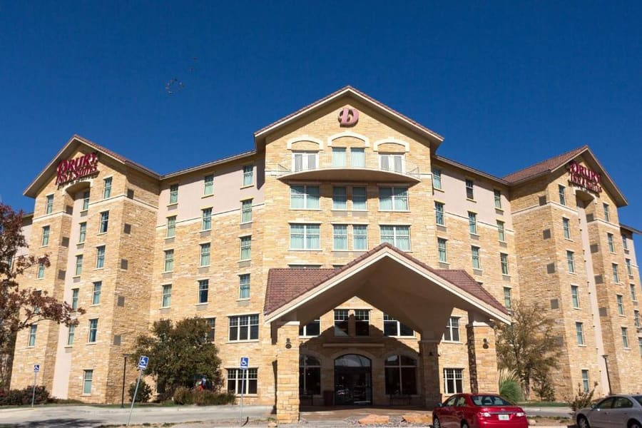
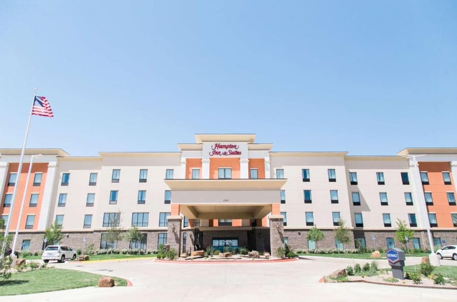
Base yourself in Downtown for walkable evening drinks and renovated historic buildings. Stay along East I-40 if you want quick highway access and basic road-trip chain motels. Base in Canyon for immediate access to Palo Duro hikes.
Live rates, matched to the areas above.
transport
Amarillo covers a vast geographic footprint with minimal public transportation. A car is non-negotiable for visiting sites like Cadillac Ranch and Palo Duro Canyon.
Από Rick Husband Amarillo International Airport (AMA)
Available outside baggage claim. Rates vary by exact city center destination.
Pickups occur directly outside the primary passenger terminal doors.
City bus routes exist but operate on limited hourly schedules and do not connect to major tourist sites.
Rent directly at AMA airport. High-clearance vehicles are unnecessary unless driving unpaved backroads in Palo Duro.
Street parking in downtown uses simple meters or is free. Attractions outside downtown have large free lots.
Interstate 40 cuts east-west, while Interstate 27 runs south toward Canyon. Missing an exit costs only a few minutes.
cost
Amarillo is an affordable stop compared to coastal US cities. Prices are driven by highway travel and local agricultural economies.
Per adult entry fee to the state park. Children 12 and under enter free.
Includes chicken-fried steak or a burger with sides at local roadhouses.
Free to visit in an open field. Spray paint cans bought on-site cost around $6–8.
Full meal price for prime cuts at traditional steakhouses.
seasonality
MAR – MAY
Moderate temperatures and spring winds. Prime season for hiking Palo Duro Canyon before summer heat hits.
JUN – AUG
Temperatures regularly top 95°F (35°C). Canyon floor temperatures run even hotter; start hikes at dawn.
SEP – NOV
Warm days and crisp nights. High prairie winds drop off, making late fall comfortable for road travel.
DEC – FEB
Cold, dry weather with occasional sudden snowstorms and freezing winds across open plains.
practicalities
The high plains offer almost no natural shade. Carry water and sun protection everywhere, even on brief walks.
Amarillo is in the Central Time Zone. If driving west into New Mexico, you will cross into Mountain Time.
Credit and debit cards are accepted virtually everywhere. Cash is rarely required.
The field around the cars turns into thick mud after rain. Wear old shoes you do not mind dirtying.
Palo Duro Canyon floor runs 5 to 10 degrees hotter than the rim. Take at least one gallon of water per person.
changing now
2025
Route 66 Centennial PreparationCity and state crews are restoring vintage neon along Sixth Avenue ahead of the 2026 Route 66 Centennial.