landmark
Naini Lake
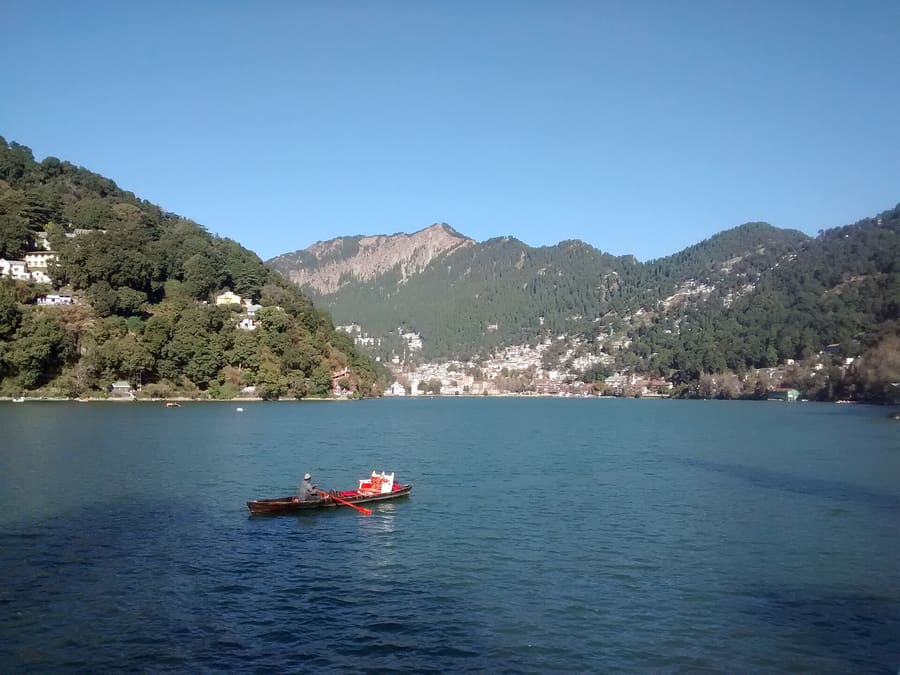
The heart of town where wooden boats operate daily. Rent a traditional boat with an oarsman at the Boat House Club pier.
Ρωτήστε το ParleyΙνδία
A Kumaoni hill town built around a lake of tectonic origin.
introduction
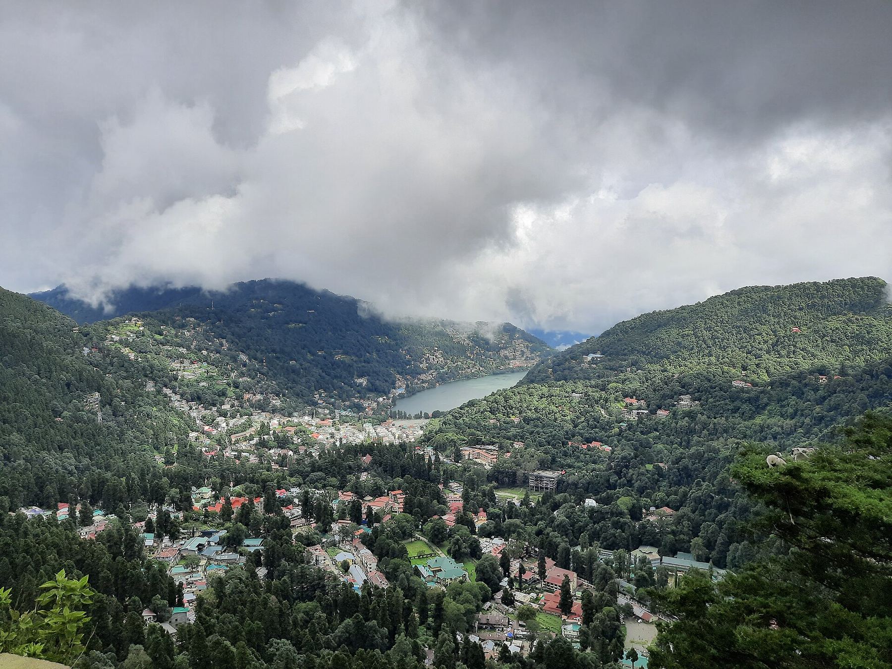
Nainital sits in a tight basin in the Kumaon Himalayas around an eye-shaped lake. Mall Road links its two halves, Mallital at the north and Tallital at the south, creating a pedestrian corridor where vehicles are restricted during peak hours. You navigate this town vertically: flat walks surround the water, while steep lanes climb into pine-covered ridges. Expect cool mountain air, crowded promenades in summer, and quiet solitude if you walk ten minutes uphill.
Train plus hill climb
Kathgodam station sits 34 kilometres below Nainital. Shared taxis wait outside the platform and take one hour to reach Tallital.
Protected Kumaon basin
Naini Lake sits at 1,938 metres elevation within a fragile Himalayan watershed managed under strict environmental zoning.
Vehicle ban windows
Mall Road closes to motor traffic every evening. Park your vehicle at the Tallital surface lot before 17:00 to avoid gridlock.
highlights
landmark
The heart of town where wooden boats operate daily. Rent a traditional boat with an oarsman at the Boat House Club pier.
Ρωτήστε το Parley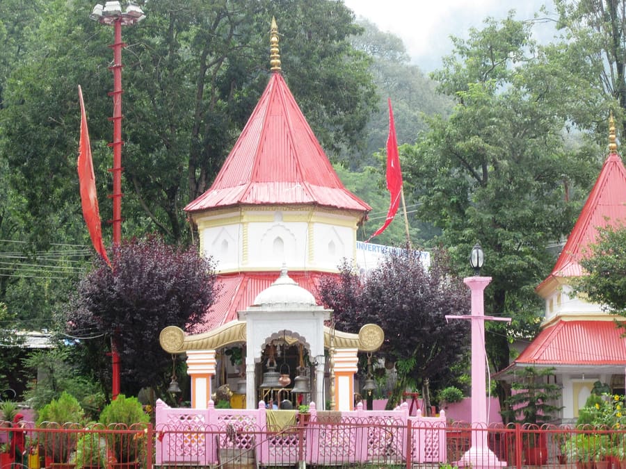
landmark
An ancient Kumaoni shrine located on the northern shore. Visit early morning before crowds arrive for lakeside prayers.
Ρωτήστε το Parley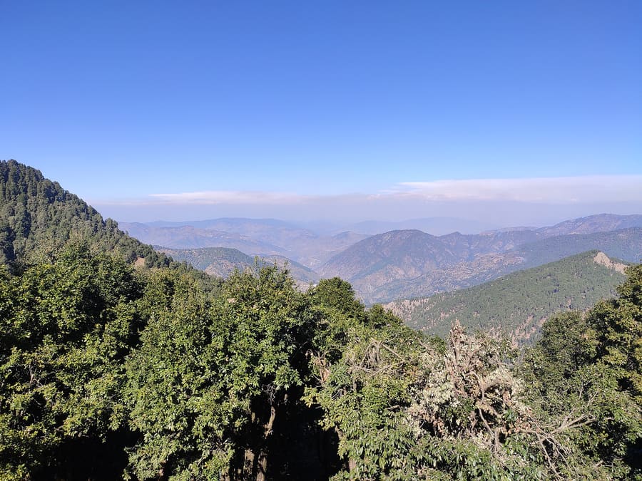
landmark
Reached via aerial ropeway or a steep hike. Offers clear morning views of Nanda Devi and Trishul peaks.
Ρωτήστε το Parleyattractions
areas
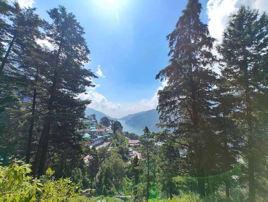
Active northern lakehead with bazaars, flat walking arcades, and main dining options.
ΚοντάNaina Devi Temple and Bara Bazaar
Ρωτήστε το Parley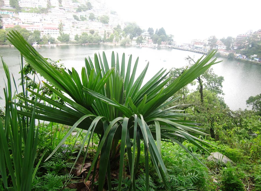
Southern lake hub centred around the bus stand, taxi ranks, and entry roads.
ΚοντάTallital post office and lake outlet
Ρωτήστε το Parley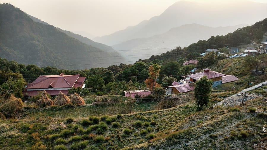
Quiet village 15 kilometres north, surrounded by oak forest and bird habitats.
ΚοντάKilbury Forest Sanctuary
Ρωτήστε το ParleyWooded hillside above the western shore, shaded by deodar trees and heritage cottages.
ΚοντάGovernor's House and Sherwood College
Ρωτήστε το Parleyfood
Kumaoni cooking relies on hardy hill grains, black legumes, and mustard oil. The food built for high elevation differs sharply from standard North Indian restaurant menus. On Mall Road and around Bara Bazaar, family eateries serve regional specialties that rarely leave the district.Order Aloo Ke Gutke, dry spiced potatoes tossed with local fried red chillies and jamboo grass. Pair it with Bhatt Ki Churkani, a thick black soybean gravy slow-cooked in iron pans to develop a distinct earthy depth. Finish with Bal Mithai, a dark roasted milk fudge coated in white sugar beads made locally in Kumaon.
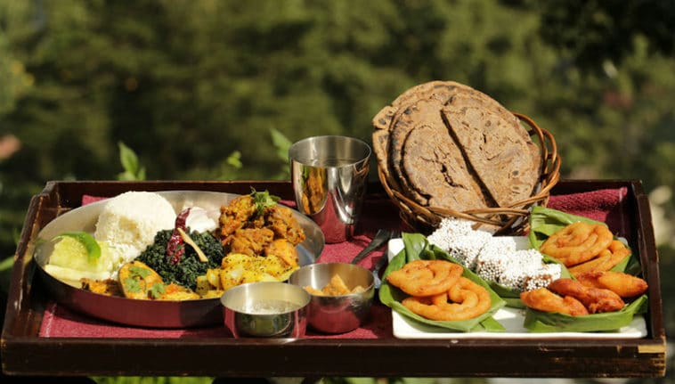
Traditional Kumaoni thali featuring black soybean gravy, spiced potatoes, and hill pulses.
Billgoldberg50 · CC BY-SA 4.0Moolchand Sweets near Bara Bazaar produces fresh Bal Mithai and Singori wrapped in malu leaves twice daily.
Local specialties like Gahat Ki Dal sell out by mid-afternoon at home-style eateries in Mallital.
Authentic Bhatt Ki Churkani gets its dark colour from cast-iron cookware, not artificial food dye.
history
Nainital was a sacred Kumaoni lake hidden in dense forest until British sugar merchant P. Barron stumbled upon it in 1841. Recognizing its cool climate, colonial administrators developed it into the summer capital of the United Provinces.The town grew rapidly along steep hillsides, leading to a catastrophic landslide in 1880 that reshaped the northern lakefront. Modern environmental regulations now protect the fragile basin from uncontrolled slope construction.
Colonial rediscovery
British trader P. Barron visits Naini Lake and publishes accounts, sparking colonial hill station development.
The Great Landslide
A massive hillside collapse destroys the northern lakefront, leading to the creation of the flat Assembly Ground.
where to stay
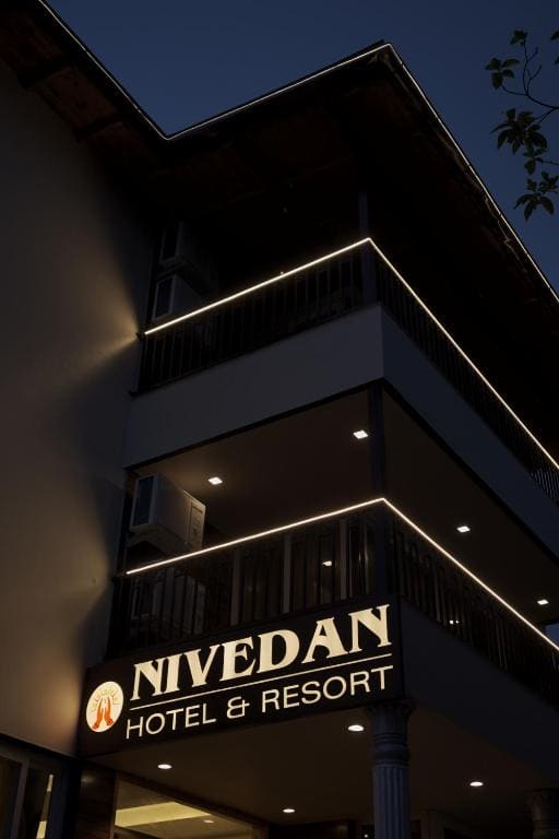
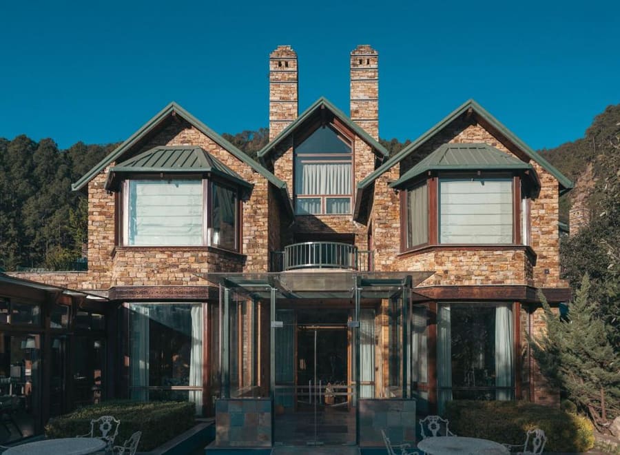
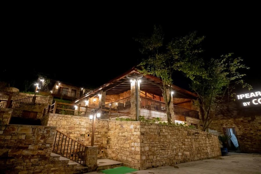
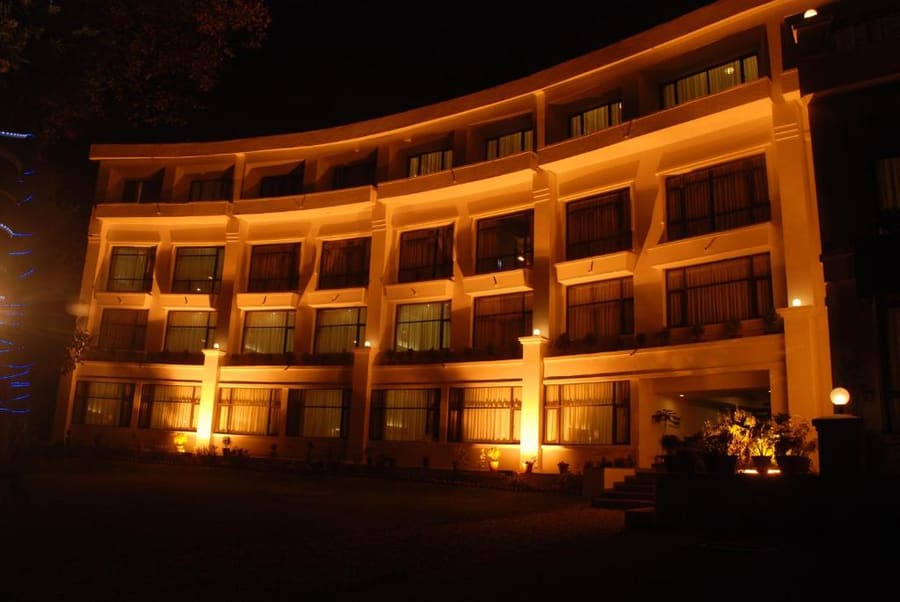
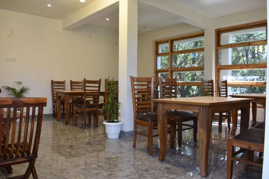
Choose your base by your willingness to climb. Staying flat on Mall Road puts shops and boat landings outside your door, but traffic noise lasts late. Moving up the Ayarpatta ridge swaps convenience for quiet forest air and colonial heritage homes, but demands daily uphill walking or private rides.
Live rates, matched to the areas above.
transport
Nainital has no commercial airport or train station in the immediate town. Travel relies on mountain roads connecting Kathgodam rail station at the base of the hills to Tallital at the lake's southern tip. Within town, human-powered rowing boats and walking replace cars along the waterfront.
Από Kathgodam Railway Station (KGM)
Prepaid taxi counters inside Kathgodam station offer fixed government fares.
Leaves from outside Kathgodam station when all seats fill. Drops at Tallital.
State transport buses run every 30 minutes from Kathgodam bus stand.
Private vehicles pay an eco-toll fee of ₹100 upon entering Nainital municipality.
Mall Road restricts private motor traffic between 18:00 and 20:00 every evening.
The aerial ropeway from Mallital costs ₹360 round trip and operates 10:00 to 17:00.
Boating costs ₹210 to ₹320 per boat ride across Naini Lake based on route length.
cost
Nainital is generally affordable compared to coastal hubs, though peak summer months inflate hotel rates by up to 100%. Food and local transit remain consistently priced year-round.
Standardized municipal rates for a 30-to-45 minute ride with an oarsman.
Complete meal with Bhatt Ki Churkani, Aloo Ke Gutke, rice, and local bread.
Includes two-way cable car transfer between Mallital and Snow View point.
Ticket covers entry to six natural interconnected rocky cave structures.
seasonality
MAR – JUN
Warm days and clear skies bring heavy summer crowds. Book hotels weeks ahead.
JUL – SEP
Monsoon rains bring heavy fog and landslide risks on access roads.
OCT – NOV
Crisp dry weather and excellent Himalayan visibility. Ideal for hillside hikes.
DEC – FEB
Freezing nights with occasional snowfall on higher peaks. Bring heavy woollens.
practicalities
Temperatures drop sharply after sunset once mountain shadows cover the lake basin.
Lanes off Mall Road climb vertically; wear shoes with strong heel support.
Local cab drivers and small eateries off the main road often lack card readers.
Municipal boat operators cease operations at 18:00 for safety as lake temperatures drop.
At 2,000 metres elevation, uphill hiking tires you faster than at sea level.