landmark
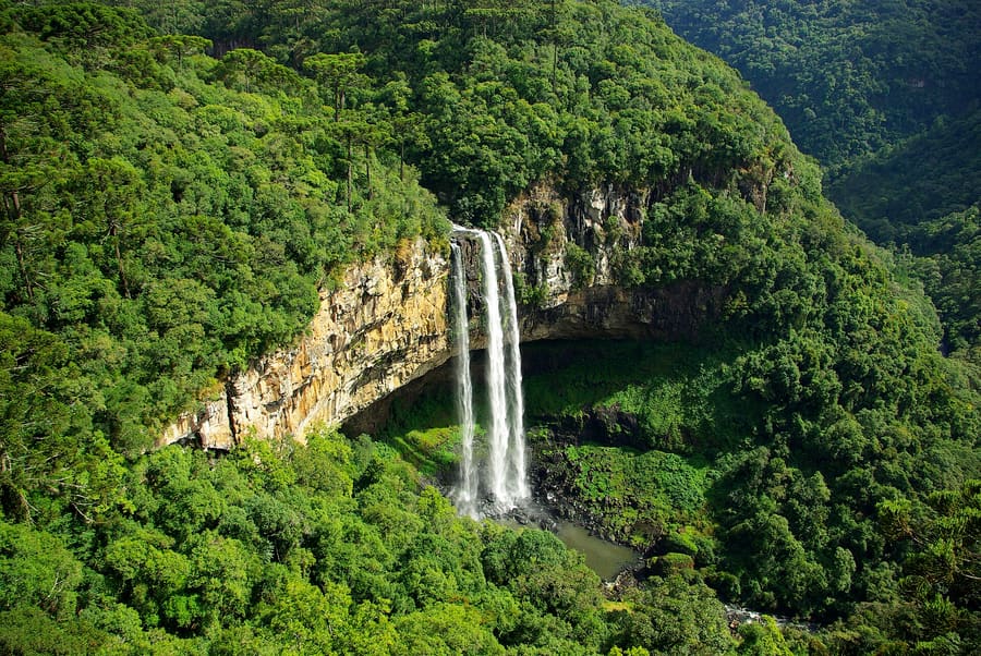
Cascata do Avencal
A 100-meter drop into a basalt amphitheater. Park admission includes access to glass-bottomed viewing platforms.
Parley से पूछेंब्राज़ील
Wind-carved canyons and frost-dusted pine plateaus.
introduction
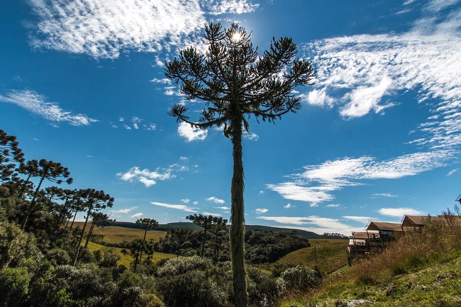
Urubici sits on Santa Catarina's high plateau, where basalt cliffs cut through stands of native Araucaria pines. Without a private vehicle, exploring the widely dispersed canyons and waterfalls is nearly impossible. You come here to drive steep mountain passes, eat pine nut stews, and brave southern Brazil's winter frosts.
Arrival essential
Rent a car at Florianópolis Airport before driving inland. Local public transit to rural trailheads does not exist.
Urubici
Eder Fortunato · CC BY-SA 3.0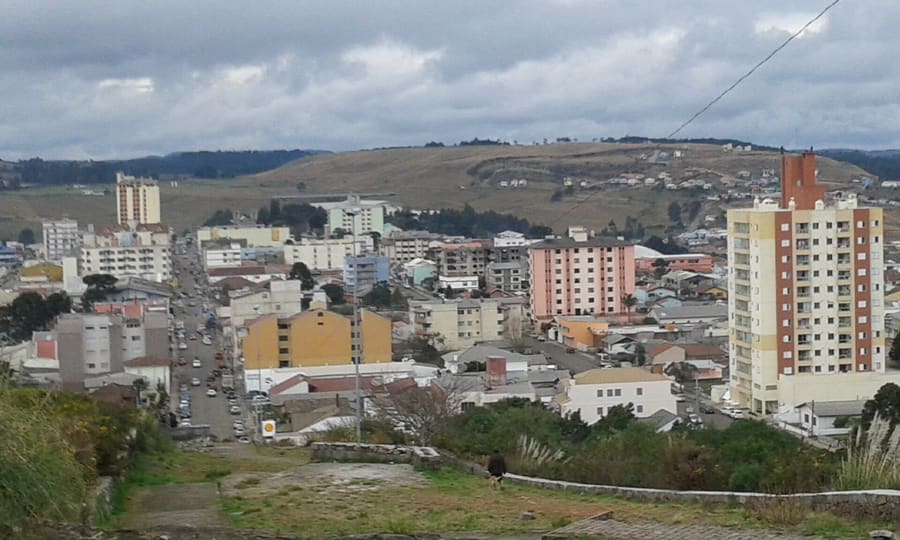
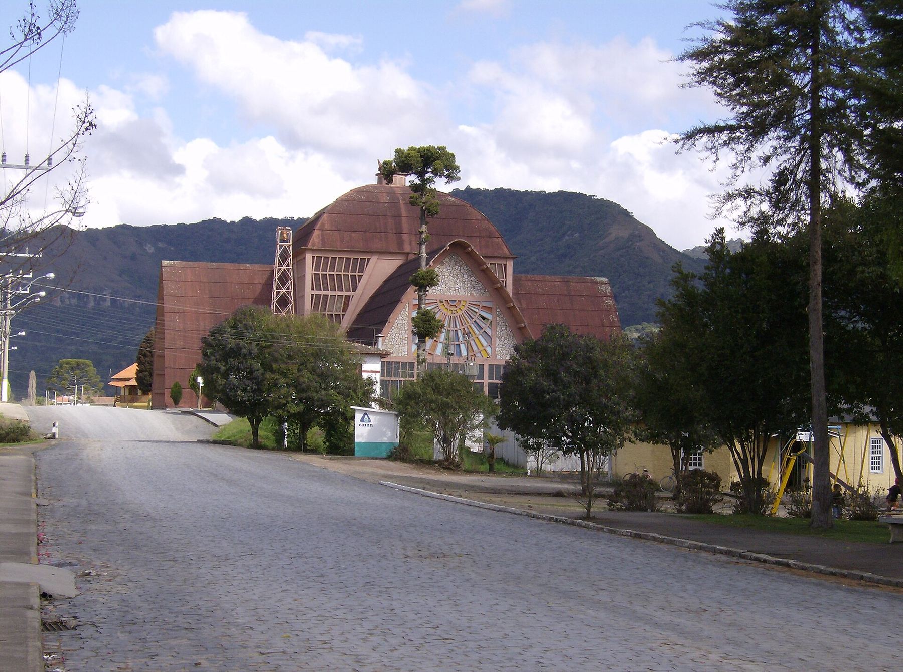
Centro — Paved street commercial strip with gear shops, bakeries, gas stations, and municipal services.
Josue Marinho · CC BY 3.0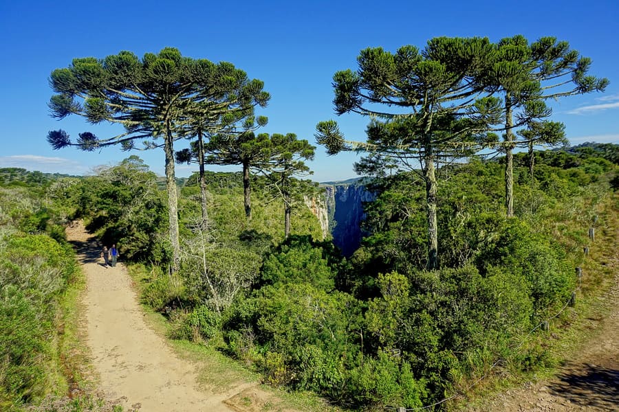
Corredor SC-110 — Pine-lined highway zone offering easy access to commercialized waterfall parks.
Germano Roberto Schüür · CC BY-SA 3.0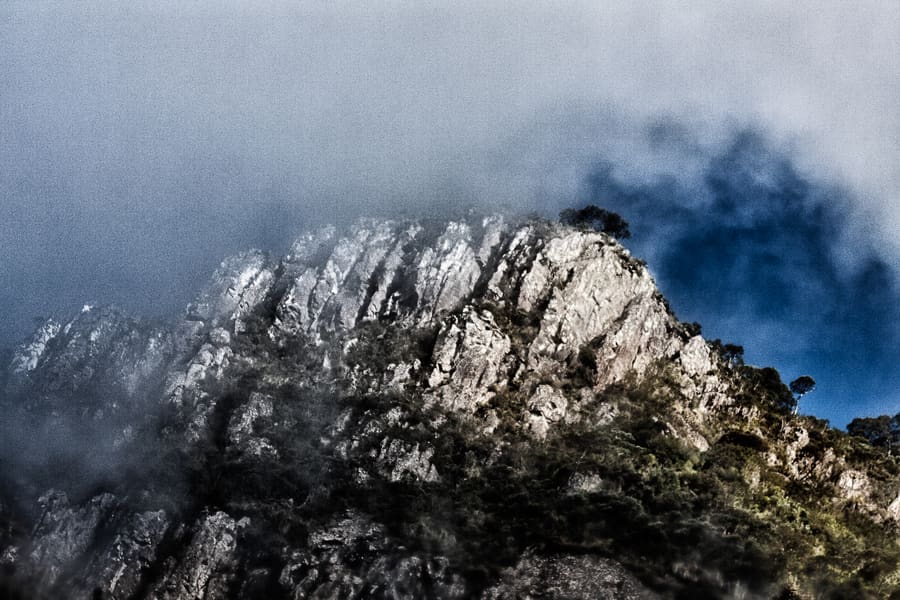
Vacas Gordas — High-altitude valley with working ranches and upscale timber chalets.
Etrauer · CC BY-SA 3.0highlights
landmark
A 100-meter drop into a basalt amphitheater. Park admission includes access to glass-bottomed viewing platforms.
Parley से पूछें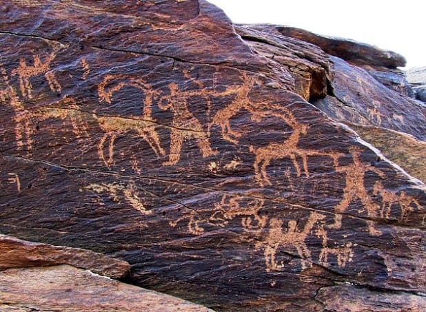
landmark
Prehistoric rock art etched into a roadside cliff face. A quick 15-minute stop directly along highway SC-110.
Parley से पूछेंattractions
areas
Paved street commercial strip with gear shops, bakeries, gas stations, and municipal services.
पास मेंICMBio park headquarters and tour operators.
Parley से पूछेंPine-lined highway zone offering easy access to commercialized waterfall parks.
पास मेंCascata do Avencal and Inscrições Rupestres.
Parley से पूछेंHigh-altitude valley with working ranches and upscale timber chalets.
पास मेंMorro da Igreja access road and Serra do Corvo Branco.
Parley से पूछेंDeep, isolated agrarian valley flanked by towering basalt canyon walls.
पास मेंIndigenous cave sites and Morro do Campestre.
Parley से पूछेंfood
Urubici's food culture reflects its cold altitude and agricultural isolation. Local cooking revolves around two main ingredients: farm-raised freshwater trout (*truta*) and the edible seeds of the Araucaria pine tree (*pinhão*). During autumn and winter, restaurants add *pinhão* to almost every stew, sauce, and pan dish.The defining regional meal is *entrevero de pinhão*, a stir-fry of chopped beef, pork, bacon, peppers, and boiled pine nuts cooked in heavy iron skillets. Freshwater trout is usually pan-fried whole or topped with capers, almonds, or pine nut cream.
Fresh *pinhão* appears between April and August. Outside these months, restaurants use frozen stocks that lack the same firm texture.
Kitchens in town close around 21:30, while rural trout farms often serve lunch only and shut by 16:00.
Order trout directly at farm restaurants in the Vacas Gordas valley, where fish are harvested from cold mountain ponds upon order.
history
Long before European settlement, indigenous Xokleng and Kaingang groups traversed these high plateaus, harvesting seasonal pine nuts and etching geometric symbols into sandstone cliffs. Cattle drovers (*tropeiros*) established transit trails through the canyons in the eighteenth and nineteenth centuries, linking the southern coast to inland markets. Italian and German immigrants later settled the valley, establishing small-scale timber and farming communities.
Native Rock Art
Indigenous inhabitants carve geometric faces and hunting symbols into cliff faces across the valley.
Municipal Founding
Urubici officially separates from neighboring São Joaquim to form its own independent municipality.
Ecotourism Growth
Paving of access roads triggers a shift from apple farming toward wilderness tourism.
where to stay
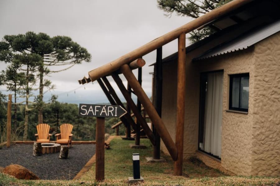
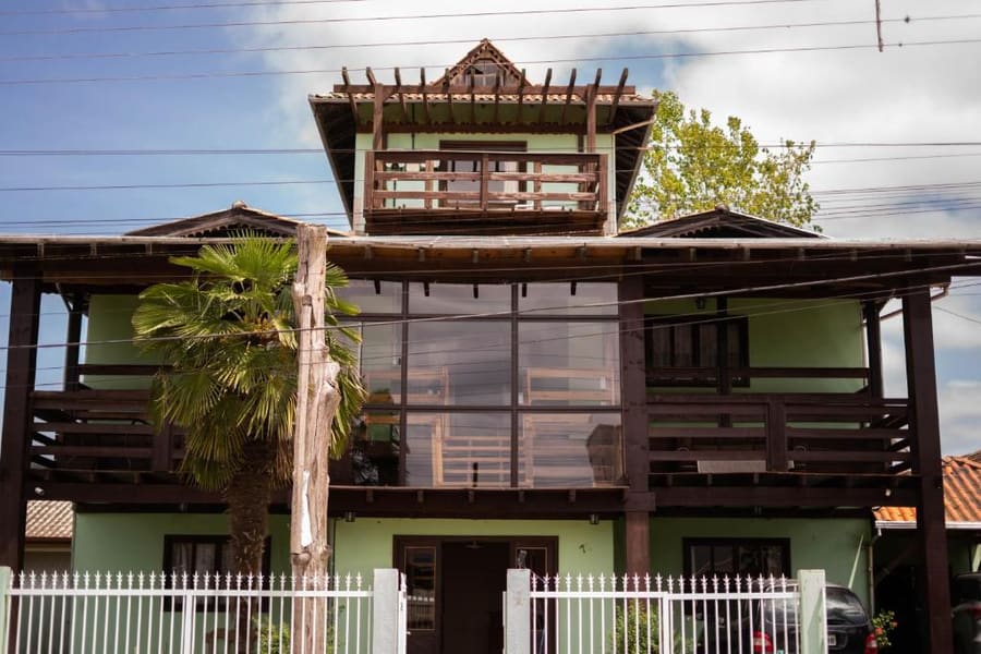
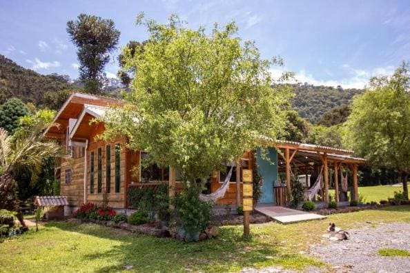
Base your decision on whether you prefer walking to dinner or staying isolated in nature. Staying in Centro gives you paved road access, gas stations, and night dining options. Booking a chalet in Vacas Gordas or Rio dos Bugres trade urban convenience for valley views, fire pits, and quiet pine forests.
Live rates, matched to the areas above.

transport
Urubici spans over 1,000 square kilometers with no municipal bus network. Renting a car at your arrival airport is essential. Major highways like SC-110 are paved, but secondary access roads to canyons and rural cabins consist of rough dirt and loose basalt gravel.
A standard hatchback works for main sites, but high ground clearance helps on unpaved valley tracks after heavy rains.
All gas stations are located in Centro along Avenida Adolfo Konder. No fuel is available out in the canyon valleys.
Cellular coverage drops within canyon cuts. Download offline maps before leaving the town center.
cost
Urubici is generally more expensive than coastal Santa Catarina towns due to higher transport costs and seasonal demand. Park entrance fees are charged per person at private nature reserves.
Per person entrance fee at developed sites like Cascata do Avencal and Morro do Campestre.
Price for a plated trout dish at mid-range rural restaurants.
Hearty shared iron-skillet dinner in town center eateries.
Standard private room or basic rural chalet per night in low season.
seasonality
JUN – AUG
Peak cold season with heavy frost and rare snowfall. High accommodation rates; book months ahead.
SEP – NOV
Spring bloom with flowing waterfalls and clearing skies. Moderate temperatures ideal for daytime hiking.
DEC – FEB
Warmest months with frequent afternoon showers. High waterfall flow rates, but hot trail conditions.
MAR – MAY
Pine nut harvest season and crisp autumn air. Lower rainfall makes this the best window for dirt-road driving.
practicalities
Rural ticket booths and roadside fruit stalls often lose card processing connection due to weak mobile signal.
Thick mountain fog (*viração*) can cover canyon edges in minutes. Pack warm layers even during summer.
Many prominent waterfalls reside on private farmland. Respect gate hours and pay posted entry fees.
Sub-zero winter mornings cause ice patches on shaded mountain road curves. Drive cautiously before 10:00.