landmark
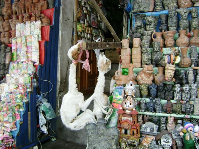
Mercado de las Brujas
Street vendors sell dried llama fetuses and herbal remedies. Ask before photographing stalls or vendors.
Perguntar ao ParleyBolívia
A high-altitude bowl where urban transit runs overhead.
introduction
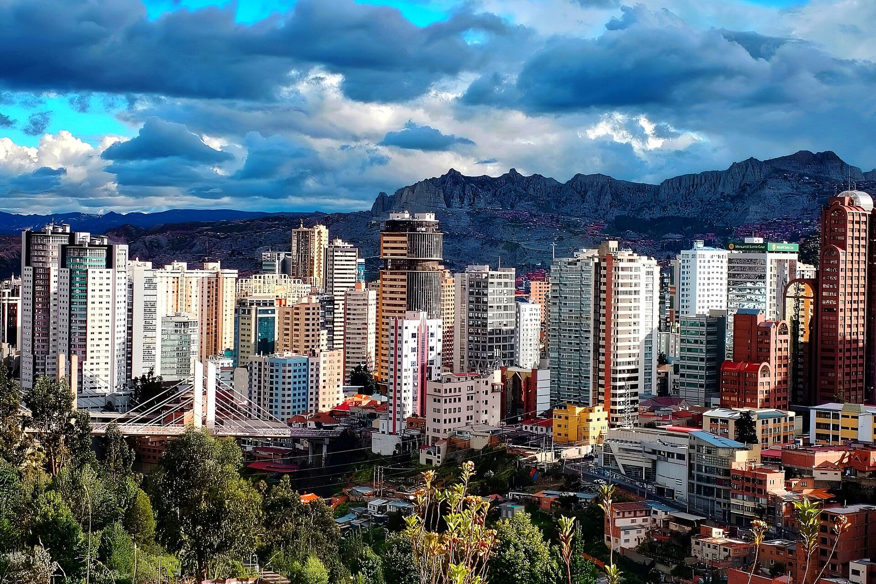
La Paz occupies a canyon carved into the Andean Altiplano between 3,200 and 4,000 metres above sea level. Instead of subways, ten cable car lines move workers and travellers across vertical terrain. You navigate by elevation as much as direction: lower districts are warmer and wealthier, while higher slopes lean Indigenous and colder.
Arrival altitude trick
El Alto Airport sits at 4,061 metres altitude. Heading straight down to Sopocachi at 3,600 metres helps ease initial oxygen adaptation.
World heritage recognition
Tiwanaku sits 70 kilometres west of La Paz. The UNESCO World Heritage archaeological complex features pre-Inca stone monoliths.
Cable car transit trick
Buy a rechargeable Mi Teleférico card at any station kiosk. It bypasses ticket lines across all ten network lines.
La Paz
Parallelepiped09 · CC BY-SA 4.0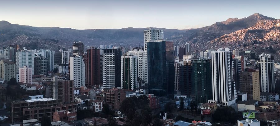
Sopocachi — Mid-elevation residential district filled with restaurants, coffee shops, and tree-lined plazas.
EEJCC · CC BY-SA 4.0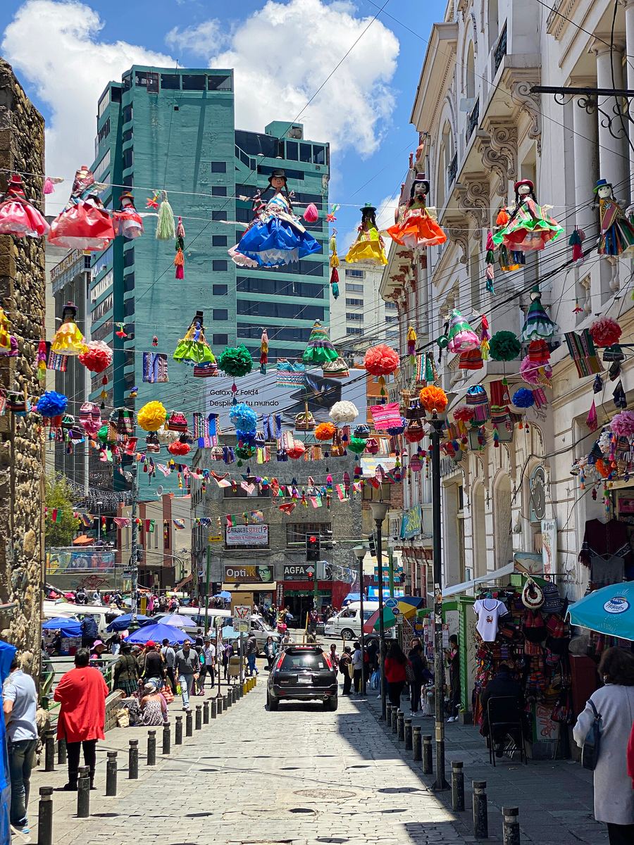
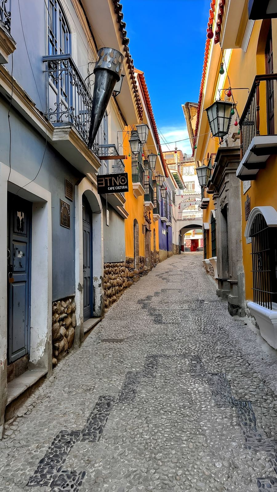
El Centro — Dense commercial core defined by street markets, colonial churches, and government headquarters.
EEJCC · CC0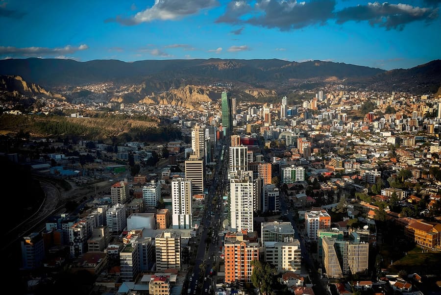
Zona Sur — Lower, warmer valley district with modern shopping malls and quiet residential avenues.
Parallelepiped09 · CC BY-SA 4.0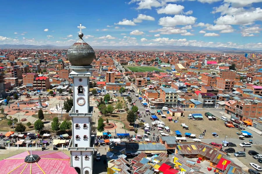
El Alto — Sprawling plateau city at 4,000 metres, famous for its massive open-air market and cholet architecture.
Parallelepiped09 · CC BY-SA 4.0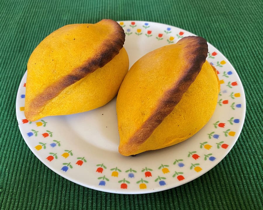
A traditional mid-morning salteña filled with spiced meat soup.
EEJCC · CC BY-SA 4.0highlights
landmark
Street vendors sell dried llama fetuses and herbal remedies. Ask before photographing stalls or vendors.
Perguntar ao Parley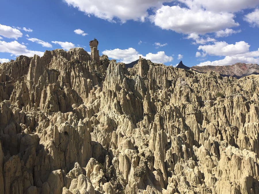
landmark
Eroded clay pinnacles 10 kilometres south of centre. Trail paths take roughly 45 minutes to loop.
Perguntar ao Parley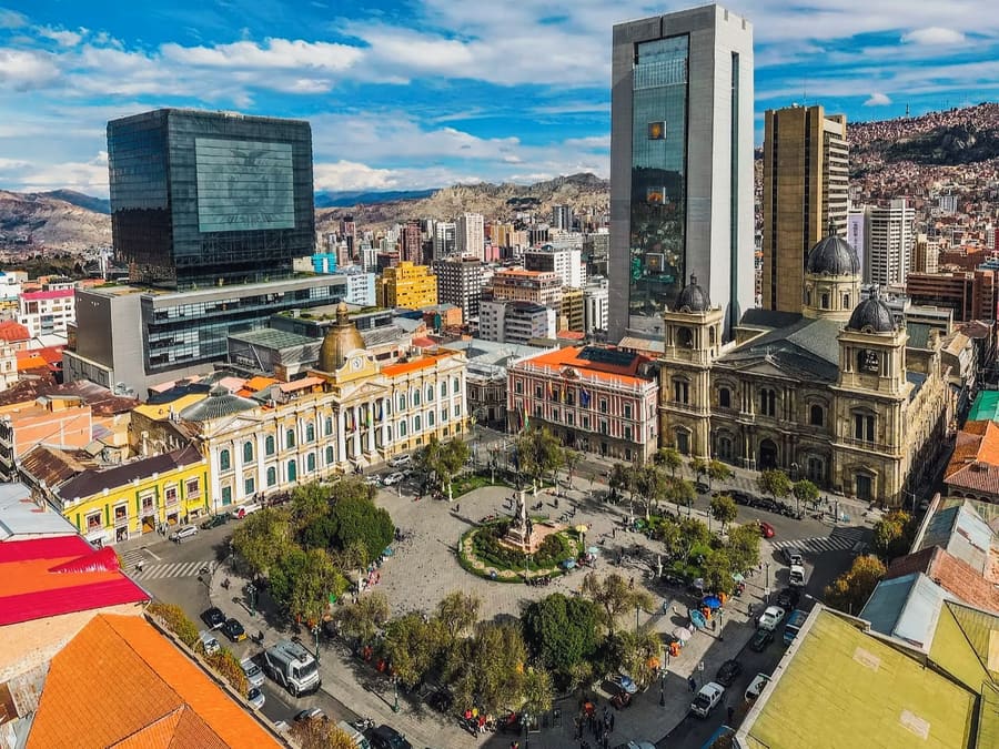
landmark
Bolivia's political hub containing the Presidential Palace and Congress. Pigeons and heavy police presence define it.
Perguntar ao Parley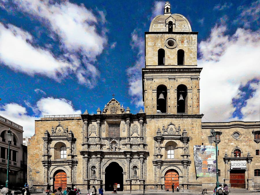
landmark
Baroque church built with indigenous stone carving motifs. Rooftop tours yield clear views of urban traffic.
Perguntar ao Parleyattractions
areas
Mid-elevation residential district filled with restaurants, coffee shops, and tree-lined plazas.
PertoLínea Amarilla cable car, Plaza Abaroa
Perguntar ao ParleyDense commercial core defined by street markets, colonial churches, and government headquarters.
PertoMercado de las Brujas, Plaza Murillo
Perguntar ao ParleyLower, warmer valley district with modern shopping malls and quiet residential avenues.
PertoValle de la Luna, Green Line cable car
Perguntar ao ParleySprawling plateau city at 4,000 metres, famous for its massive open-air market and cholet architecture.
Perto16 de Julio Market, LPB Airport
Perguntar ao Parleyfood
Eating in La Paz follows strict daily timings tied to altitude digestion. Salteñas — savory pastries stuffed with braised meat, peas, and rich broth — are consumed strictly between 09:00 and 11:30. Locals avoid heavy meals at night because slow digestion at high altitude disrupts sleep.Fine dining has shifted toward native Andean grains and high-altitude produce. Restaurants like Gustu showcase wild Amazonian fruits, llama carpaccio, and native potato varieties sourced directly from regional farmers. Street food dominates after dark, led by skewered beef heart roasted over charcoal.
A traditional mid-morning salteña filled with spiced meat soup.
EEJCC · CC BY-SA 4.0Bakeries sell out of hot salteñas by noon. Eat them held upright in paper to catch the broth inside.
Eat your primary meal at midday. Heavy evening dinners often cause stomach discomfort at 3,600 metres.
Look for street vendors in Sopocachi after 20:00 selling skewered beef heart with grilled potatoes and peanut sauce.
history
La Paz was founded in 1548 by Spanish conquistador Alonso de Mendoza in a sheltered canyon to protect settlers from harsh Altiplano winds. The city grew rapidly as a commerce hub along the silver transit route between Potosí and Lima.In 1899, following a brief civil war, La Paz replaced Sucre as Bolivia's executive and legislative seat. Modern La Paz spans two cities: the canyon floor and the expanding plateau city of El Alto above.
City foundation
Alonso de Mendoza establishes Nuestra Señora de La Paz at Laja, moving it days later to the choqueyapu canyon.
Siege of La Paz
Indigenous leader Túpac Katari besieges the Spanish enclave for six months, encircling the canyon rim.
Seat of government
La Paz wins executive power following the Federal War, leaving Sucre as the judicial capital.
Cable car system opens
Mi Teleférico begins operations, connecting El Alto and La Paz across vertical canyon walls.
where to stay
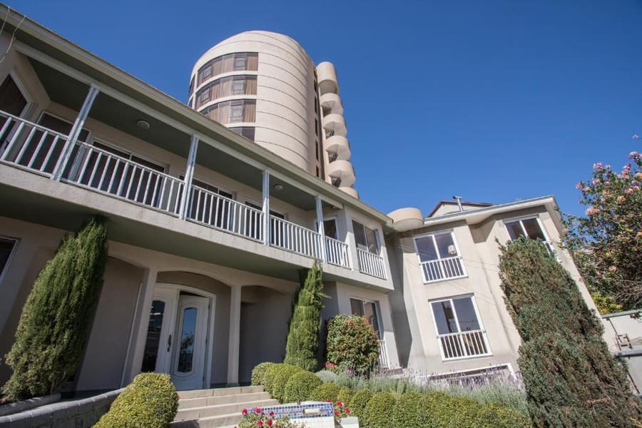
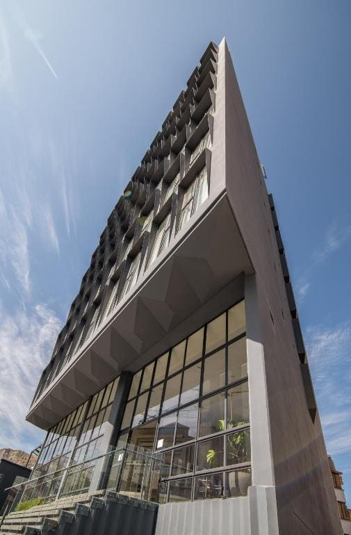
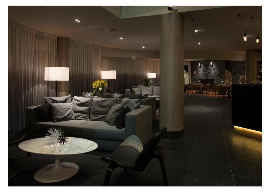
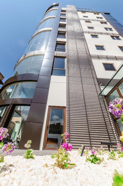
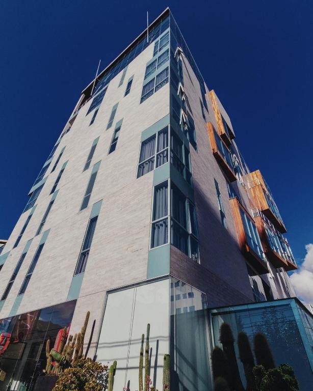
Elevation dictates room comfort in La Paz. Staying lower down in Zona Sur offers warmer temperatures and thicker oxygen, but requires transit to historic sites. Sopocachi strikes the best balance of safety, dining, and central access.
Live rates, matched to the areas above.
transport
La Paz transit relies on overhead cable cars and street minibus networks. Mi Teleférico handles steep vertical transfers seamlessly, while micro buses cover horizontal routes through crowded valley lanes.
De El Alto International Airport (LPB)
Official airport taxis accept fixed fares. Price increases during evening peak hours.
Cotranstur minibus runs from arrivals terminal to Plaza Isabel la Católica in Sopocachi.
Single rides cost BOB 3 per line. Transfers between connecting lines cost BOB 1.50 extra.
Call booked radio taxis with roof signs rather than flagging unbranded cars on street corners at night.
Destination signs are displayed on front windshields. Shout 'bajo aquí' to request a stop.
cost
La Paz remains very affordable by South American standards. Cash dominates small transactions, while mid-range establishments accept major international credit cards.
Mid-morning baked meat pastry sold at street bakeries.
Standard single ticket fare across any single Mi Teleférico line.
Three-course lunch menu including soup, main plate, and dessert.
Standard ride rate within central districts like Sopocachi and Centro.
seasonality
MAY – SEP
Dry winter season brings clear sky views and freezing night temperatures. Optimal for hiking.
OCT – NOV
Shoulder season with mild afternoon weather and occasional high-altitude thunder showers.
DEC – FEB
Wet summer season brings heavy rain and cloud cover. Mountain tours frequently cancel.
MAR – APR
Rain fades and mountains clear. Warmer daytime temperatures return to valley floors.
practicalities
Thin air amplifies solar radiation. Apply high SPF sunscreen even on overcast mornings.
Rest for your first 24 hours. Drink coca tea and avoid alcohol until fully adapted.
Use bank-operated ATMs inside branches like Banco Nacional de Bolivia for safety.
Frequent civic protests close central avenues. Use Mi Teleférico to move over roadblocks.
Tap water is not potable. Drink boiled or filtered bottled water throughout your stay.