landmark
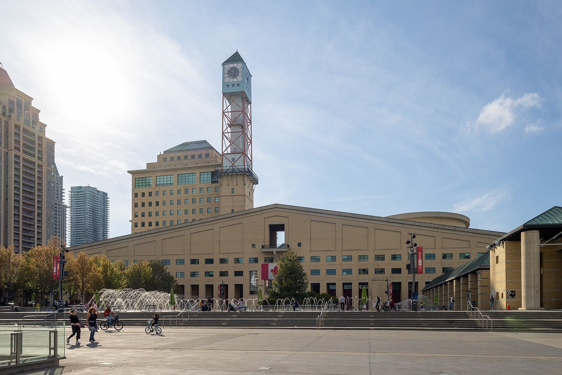
Celebration Square
The civic core with a splash pad in summer and an ice rink in winter. Food trucks line the perimeter during events.
Perguntar ao ParleyCanadá
Ontario's third-largest city: suburban scale, waterfront pockets.
introduction
Mississauga sits directly west of Toronto and houses Canada's busiest airport. You navigate the city primarily by car or MiWay buses, as its sprawling layout spans distinct historical villages and modern high-rises. Expect long distances between pockets of urban density like Port Credit and City Centre.
Airport proximity trick
Toronto Pearson International Airport sits inside Mississauga, not Toronto. Taking a local MiWay bus to City Centre costs $4.00, compared to a $35 taxi ride.
Architectural recognition
The Absolute World towers won the CTBUH Best Tall Building award in 2012. Their twisting design earned them the local nickname 'Marilyn Monroe towers'.
Transit fare integration
MiWay bus fares accept contactless credit cards and PRESTO cards. Tap the same card when transferring between MiWay and GO Transit for a free transfer credit.
Mississauga
Canmenwalker · CC BY 4.0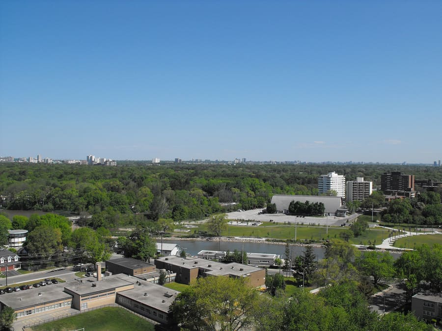
Port Credit — Waterfront district with a marina walkway, independent shops, and heavy patio dining.
GeorgeTheCar at English Wikipedia · CC BY-SA 3.0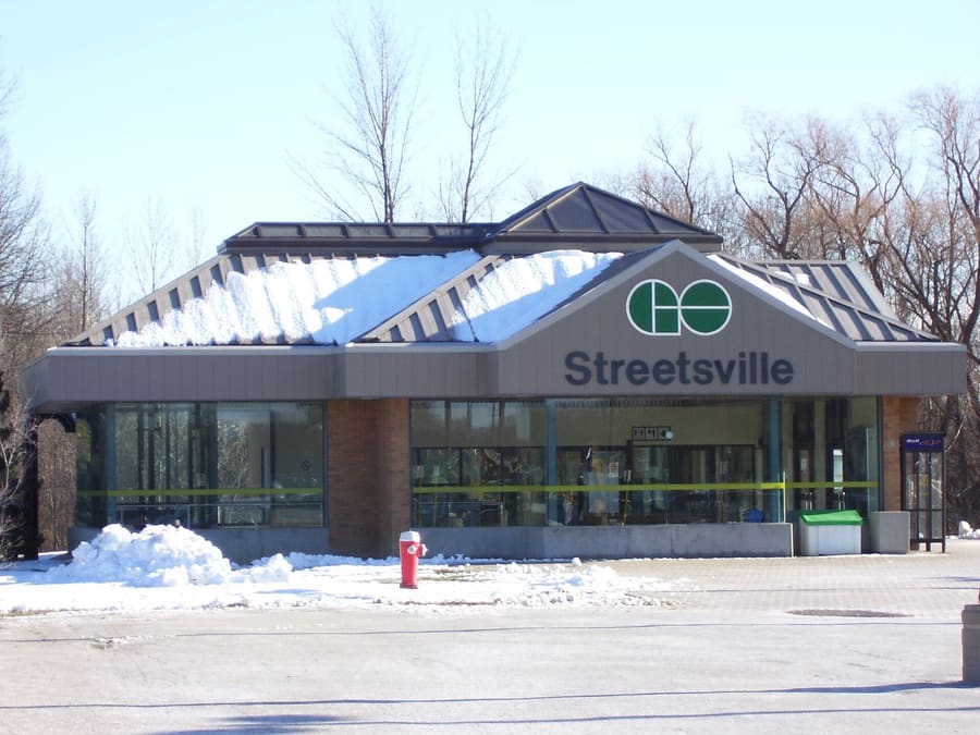
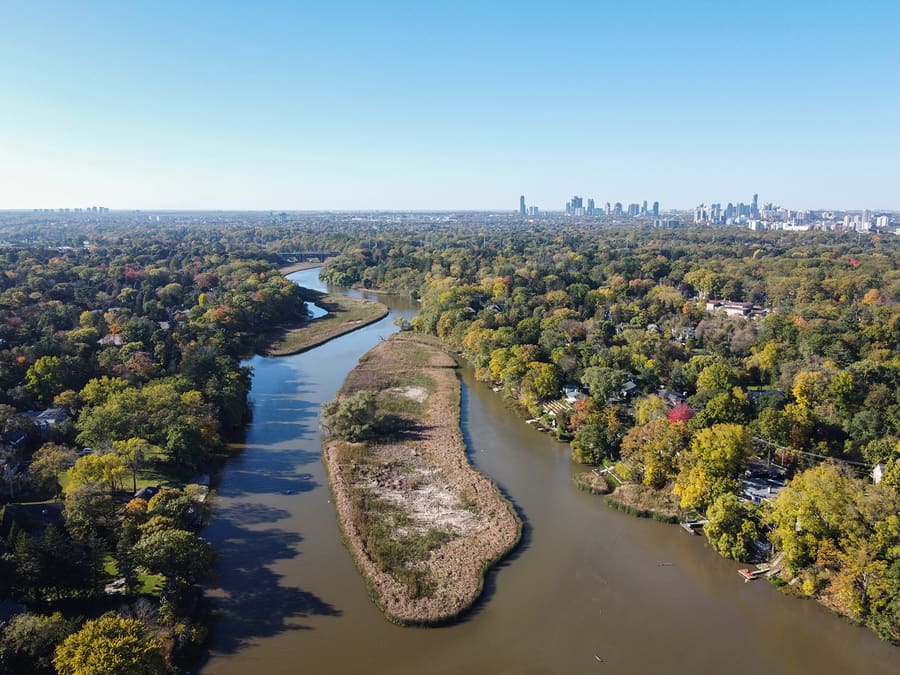
Streetsville — Low-rise village layout along the Credit River with historic buildings and cafes.
AmirSyed · CC BY 4.0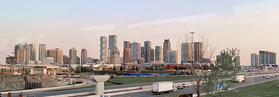
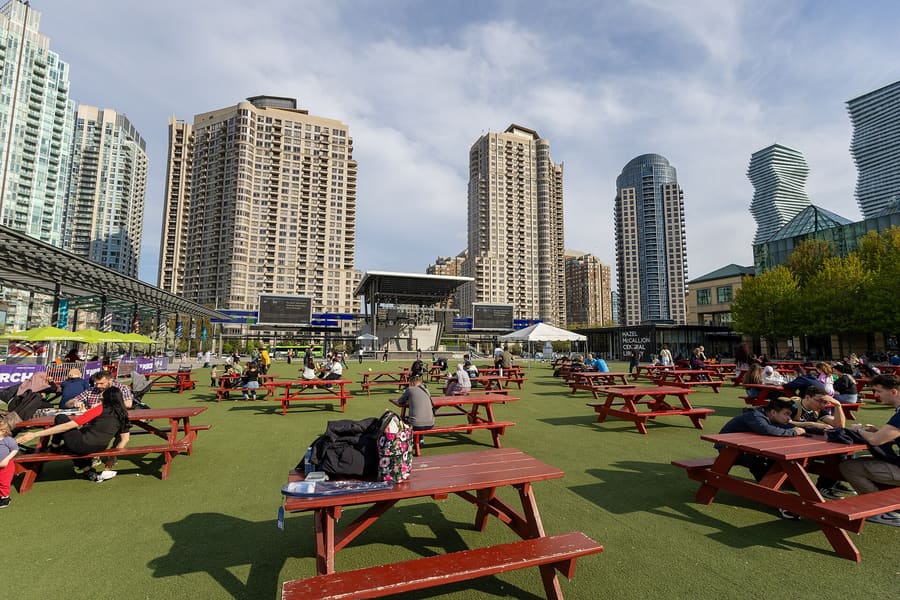
City Centre — High-density core surrounding Canada's second-largest shopping mall and civic plaza.
TheQueenOfClubs · CC BY-SA 4.0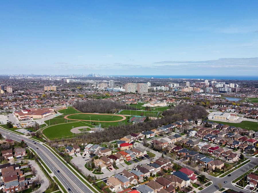
Cooksville — Commercial transit corridor home to high concentrations of international dining.
Canmenwalker · CC BY 4.0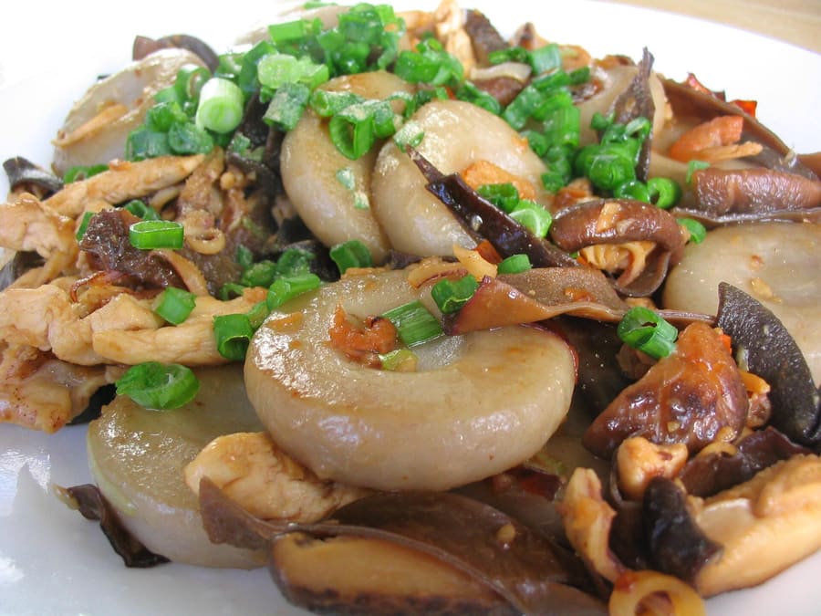
Strip plazas along Dundas Street house many of Mississauga's best family-run kitchens.
jiathwee · CC BY 2.0highlights
landmark
The civic core with a splash pad in summer and an ice rink in winter. Food trucks line the perimeter during events.
Perguntar ao Parley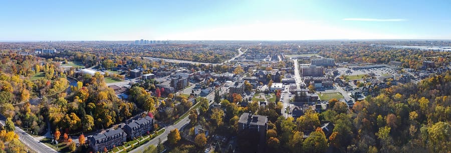
landmark
A preserved nineteenth-century main street with independent bakeries. Municipal parking behind the main strip is free.
Perguntar ao Parleyattractions
areas
Waterfront district with a marina walkway, independent shops, and heavy patio dining.
PertoLake Ontario waterfront trail and Snug Harbour.
Perguntar ao ParleyLow-rise village layout along the Credit River with historic buildings and cafes.
PertoCredit River trails and Streetsville GO Station.
Perguntar ao ParleyHigh-density core surrounding Canada's second-largest shopping mall and civic plaza.
PertoSquare One Shopping Centre and Celebration Square.
Perguntar ao ParleyCommercial transit corridor home to high concentrations of international dining.
PertoCooksville GO Station and Huron Park.
Perguntar ao Parleyfood
Mississauga's culinary reputation rests on strip plazas along Dundas Street and Hurontario Street. Hakka Chinese, South Indian dosa counters, and Middle Eastern shawarma shops operate alongside family-owned bakeries. Port Credit provides traditional waterfront dining, but high-volume immigrant kitchens across the inner suburbs deliver the city's best food.
Strip plazas along Dundas Street house many of Mississauga's best family-run kitchens.
jiathwee · CC BY 2.0Order chili chicken and Manchurian noodles at Hakka spots in Cooksville. The style fuses Chinese cooking techniques with Indian spices.
Popular South Asian counter-service spots along Derry Road draw long lines during the 18:00 to 20:00 dinner rush.
Smaller plaza bakeries often impose debit card minimums or require cash for small orders under $10.
history
Mississauga formed in 1968 through the amalgamation of several historic agricultural villages along the Credit River. Longtime mayor Hazel McCallion directed four decades of suburban development, building corporate hubs around Pearson Airport to keep municipal taxes low.
Treaty 13A Signed
The British Crown acquires land along the Credit River from the Mississaugas of the Credit First Nation.
Township Amalgamation
Historic settlements including Malton, Cooksville, and Erindale merge to form the Town of Mississauga.
City Incorporation
Mississauga officially becomes a city, annexing the independent waterfront villages of Port Credit and Streetsville.
Train Derailment Evacuation
A chlorine train derailment forces the safe temporary evacuation of 200,000 residents.
Absolute World Completed
The opening of the twisting high-rises signals Mississauga's pivot toward high-density vertical development.
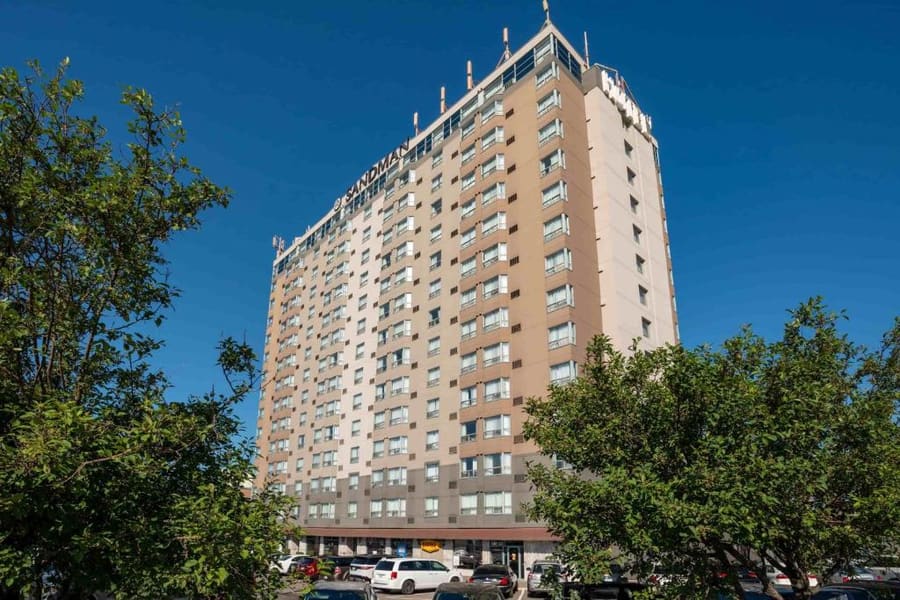
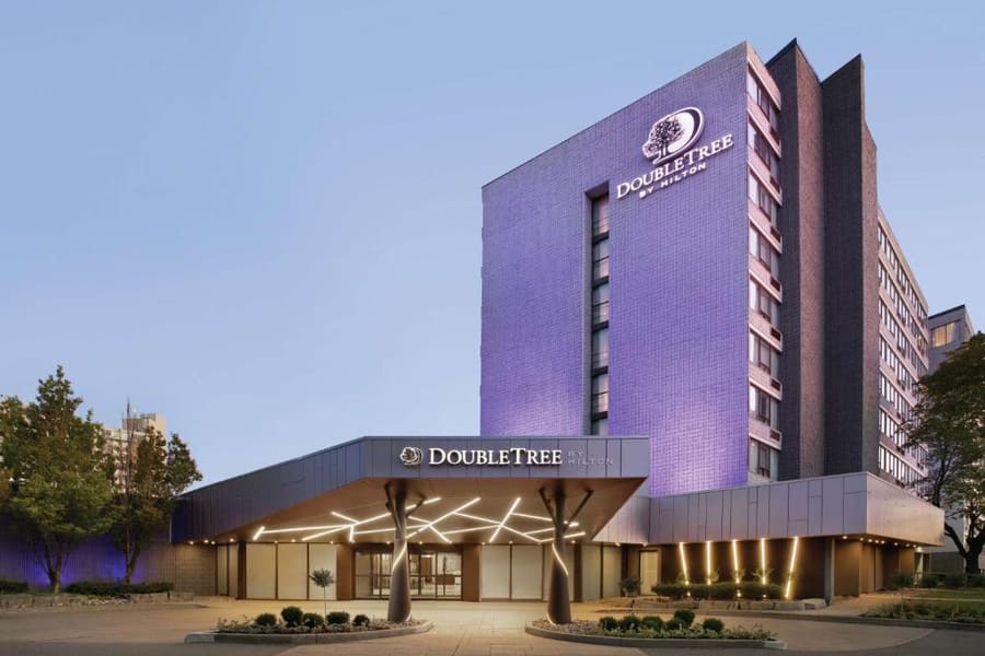
where to stay
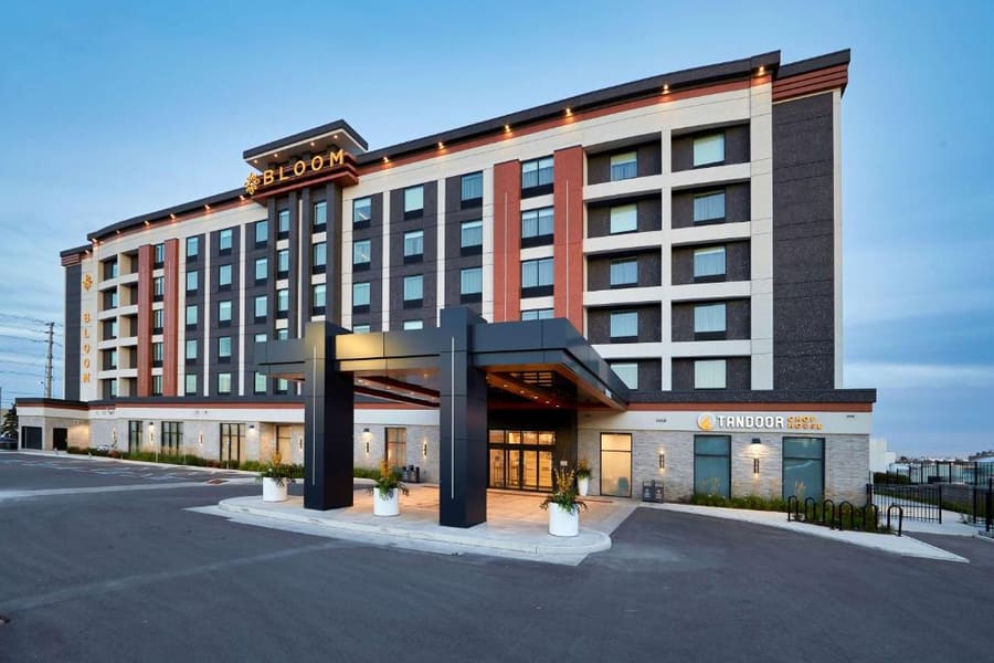
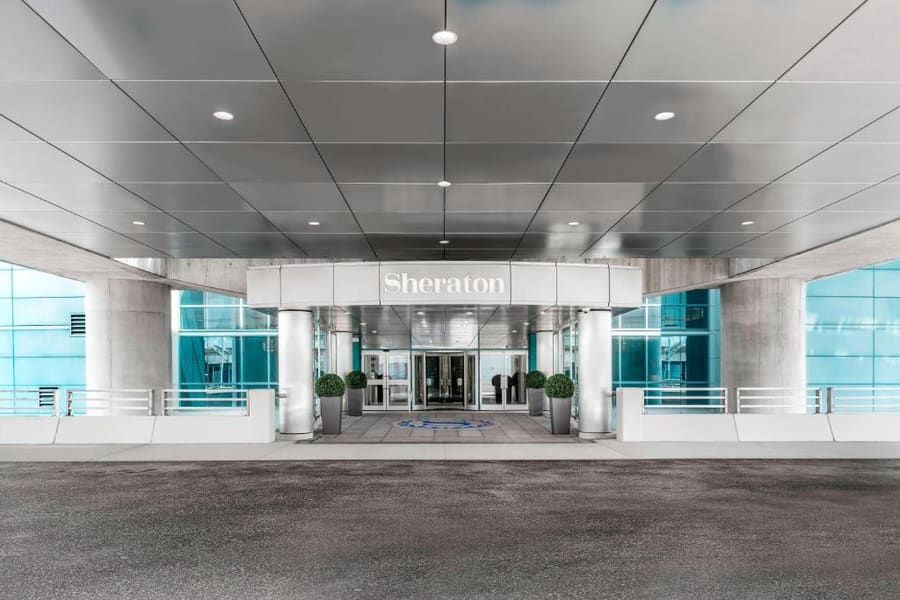
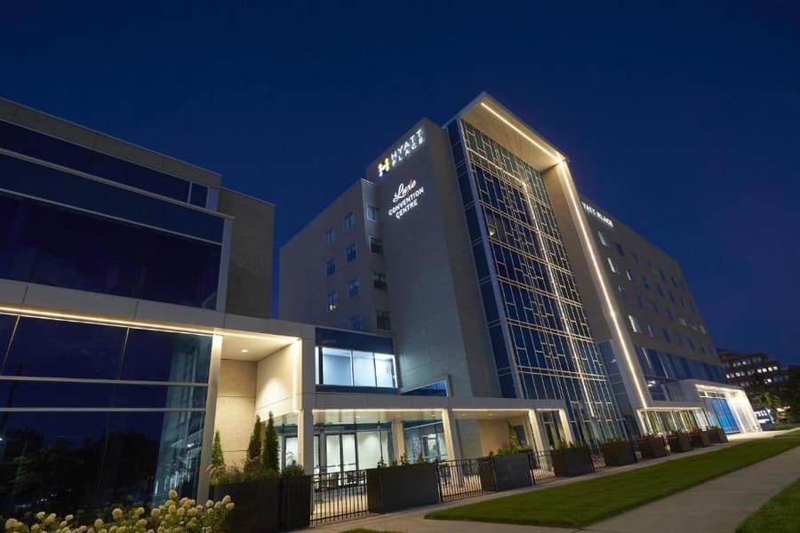
Choose your lodging based on transit priorities. Stay near Pearson Airport for early morning flights, or in Port Credit for walkable access to restaurants and Lake Ontario. City Centre puts you directly on major bus routes.
Live rates, matched to the areas above.
transport
Mississauga is planned around private motor vehicles, but transit handles core corridors. Local MiWay buses cover inner routes, while regional GO Transit trains connect south Mississauga and Streetsville directly to Toronto Union Station.
De Toronto Pearson International Airport (YYZ)
MiWay Route 107 or Route 7 picks up at Terminal 1 and runs to City Centre.
Flat-rate zone fares apply from regulated airport taxi stands.
Pick-up locations are restricted to specific doors on the arrivals level.
Express buses use a grade-separated busway running parallel to Highway 403 between Winston Churchill and Renforth.
Trains on the Milton GO line through Streetsville run inbound toward Toronto only during morning rush hours.
Secondary suburban bus routes drop to 30-minute or 60-minute service intervals on Sundays.
cost
Prices mirror Greater Toronto Area averages. Strip-mall eateries offer good value, while waterfront restaurants and high-rise hotels command standard suburban market rates.
Standard price for a Hakka lunch box or shawarma plate in Cooksville.
Average cost of a main dish and non-alcoholic drink at a Port Credit restaurant.
Typical fare for a ten-minute ride between City Centre and nearby districts.
seasonality
DEC – FEB
Sub-zero temperatures and snow. Outdoor ice skating at Celebration Square is open daily.
MAR – MAY
Temperatures rise slowly. Cherry blossoms bloom at Kariya Park in early May.
JUN – AUG
Warm weather. Port Credit waterfront activity and outdoor plaza events peak.
SEP – NOV
Cooler conditions and fall foliage along the Credit River walking trail network.
practicalities
Walking between districts is inefficient. Budget for cars, rideshares, or express buses.
Canada's second-largest mall runs 10:00 to 21:00 weekdays, closing at 19:00 on Sundays.
Public parking lots near the lighthouse fill completely by early afternoon on sunny weekends.
Nearly all retailers accept credit card tap payments and mobile wallet transactions.
Chinook salmon leap upstream at Erindale Park during September and October.