landmark
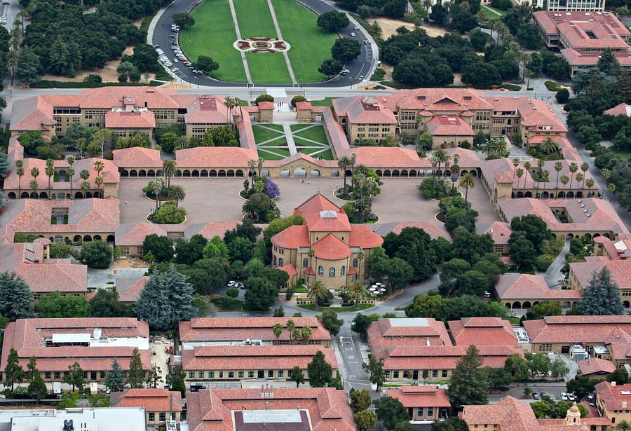
Stanford Main Quad
Sandstone arcades built in 1891 anchor the campus. Visit early in the morning before student tours arrive.
Perguntar ao ParleyEstados Unidos
Venture capital, Stanford grounds, and quiet suburban grid.
introduction
Palo Alto sits 35 miles south of San Francisco at the northern edge of Silicon Valley. Stanford University dominates the western side of town, while commercial activity concentrates along University Avenue and California Avenue. You move around easily by bicycle or Caltrain, though a car helps for trips into the hills. Expect high prices, early closing hours, and quiet residential streets lined with old oaks.
San Jose vs San Francisco entry
Fly into San Jose (SJC) rather than SFO when possible. SJC sits 16 miles south with lighter highway traffic on US-101.
The Rodin collection
Stanford holds the largest collection of Auguste Rodin bronzes outside Paris. Access to the Cantor Arts Center outdoor sculpture garden is free.
Caltrain express timing
Catch Express or Bullet trains on Caltrain for peak travel between Palo Alto and San Francisco. They skip local stops and reduce ride times to under 40 minutes.
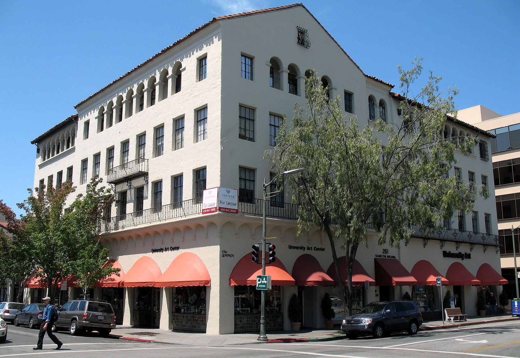
Palo Alto
King of Hearts · CC BY-SA 3.0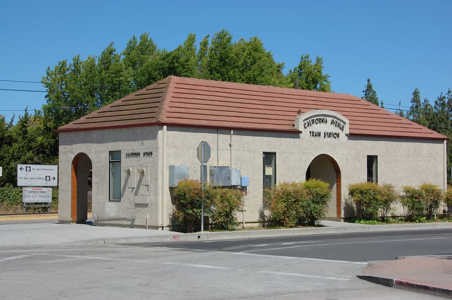
California Avenue — Pedestrianized dining corridor with a Sunday farmers market and local shops.
Constantine Kulikovsky · CC BY 3.0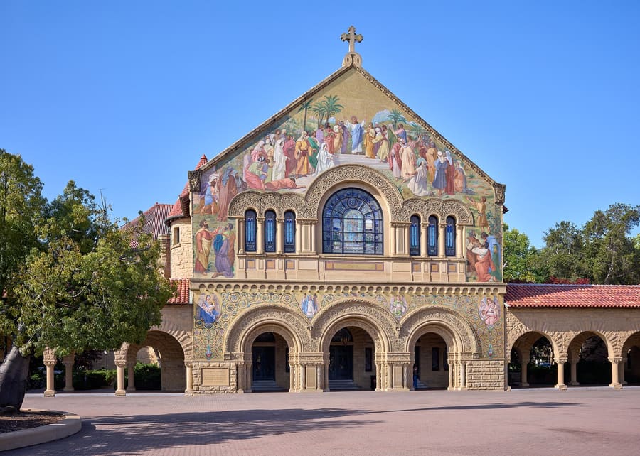
Stanford Campus — Sprawling academic grounds with sandstone architecture, bike paths, and green space.
Frank Schulenburg · CC BY-SA 4.0highlights
landmark
Sandstone arcades built in 1891 anchor the campus. Visit early in the morning before student tours arrive.
Perguntar ao Parley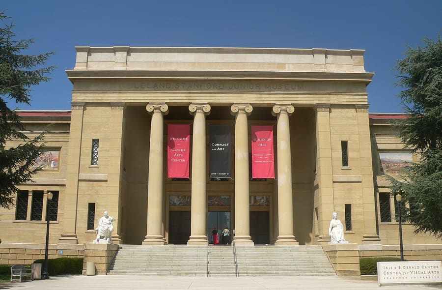
landmark
This free museum features 200 Rodin sculptures in its collection and gardens. Parking requires the ParkMobile app.
Perguntar ao Parley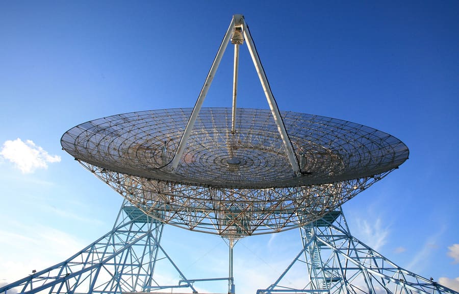
landmark
A paved 3.5-mile loop offering views across the bay. No shade exists here, so bring water and avoid midday heat.
Perguntar ao Parley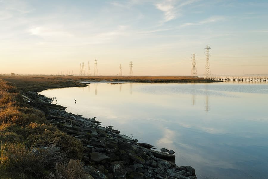
landmark
Salt marshes along the bay offer 1,900 acres of bird habitat. Boardwalks lead past tidal mudflats.
Perguntar ao Parley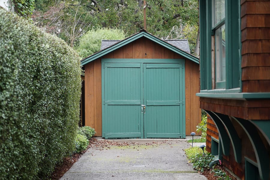
landmark
The birthplace of Silicon Valley sits on Addison Avenue. View the shed from the sidewalk; the private residence is closed.
Perguntar ao Parleyattractions
areas
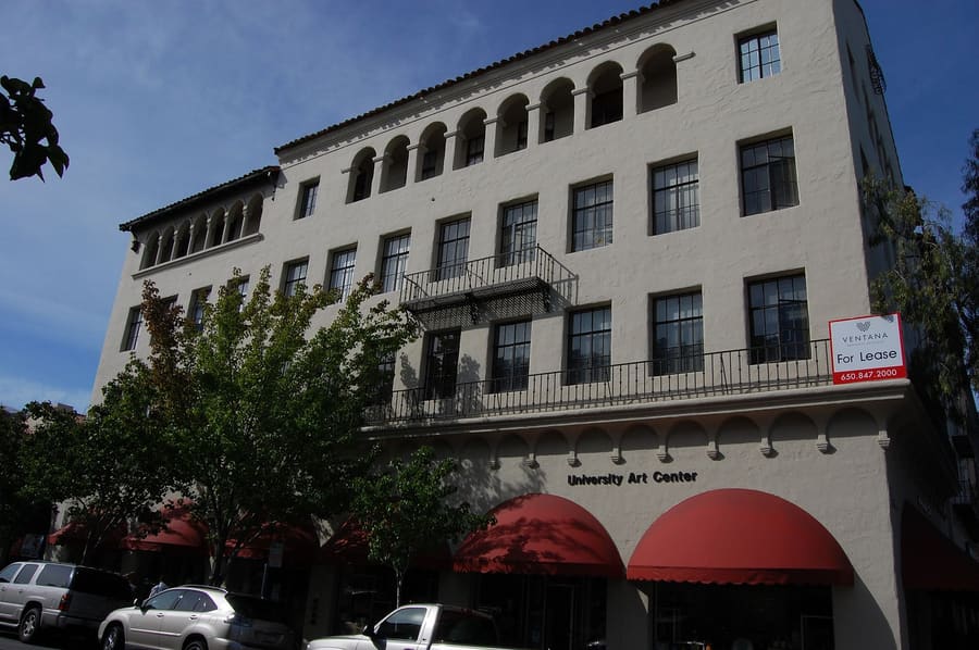
High-density retail, tech offices, and packed dining along University Avenue.
PertoPalo Alto Caltrain station and Stanford Theatre
Perguntar ao ParleyPedestrianized dining corridor with a Sunday farmers market and local shops.
PertoCalifornia Ave Caltrain station and Stanford Research Park
Perguntar ao ParleySprawling academic grounds with sandstone architecture, bike paths, and green space.
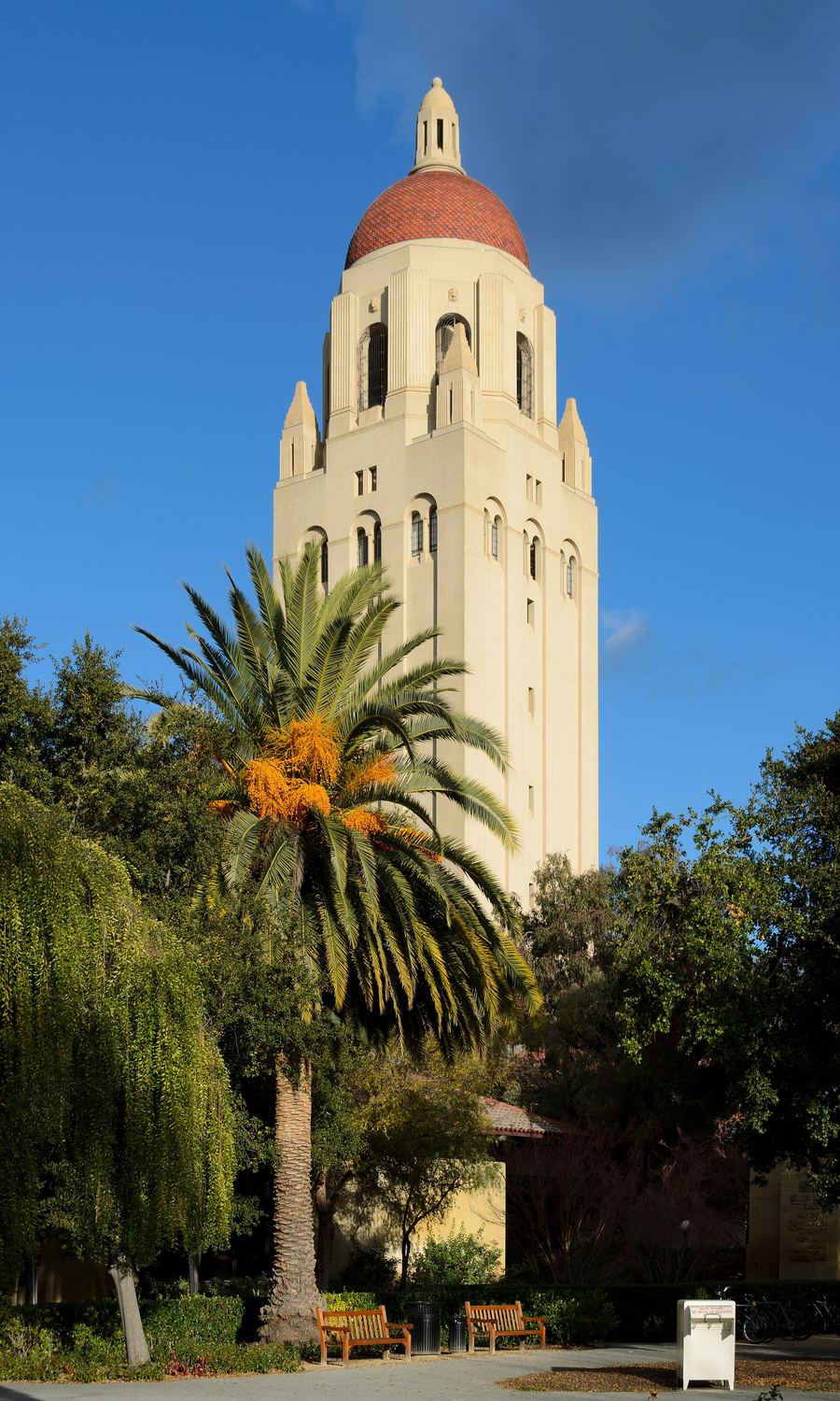
PertoCantor Arts Center and Hoover Tower
Perguntar ao ParleyQuiet residential streets with single-family homes and small neighborhood shopping centers.
PertoMitchell Park and San Antonio Road corridor
Perguntar ao Parleyfood
Dining in Palo Alto revolves around tech executives on expense accounts and local families seeking quality California ingredients. University Avenue hosts polished bistros and popular ramen spots. California Avenue offers relaxed outdoor dining on closed street lanes.Reservations fill up days in advance for weekday lunches. Dinner service starts early, with kitchen orders wrapping up by 21:00 at most establishments.
Book tables for weekday business lunches at least three days ahead. The peak crowd arrives between 12:00 and 13:15.
California Avenue hosts a large farmers market every Sunday from 08:30 to 13:00. Hot food vendors line the closed street.
Kitchens close earlier than in San Francisco. Arrive before 20:30 to secure a complete dinner menu.
history
Stanford opens
Stanford University opens to its first class of students on former farmland.
Town incorporation
Palo Alto incorporates as a city to serve the adjacent university community.
HP Garage launch
Hewlett and Packard build their first audio oscillator inside an Addison Avenue garage.
Research Park created
Stanford launches its industrial park, anchoring high-tech firms in Palo Alto.
Social media era
Tech startups establish early offices on University Avenue, accelerating local commercial growth.
where to stay
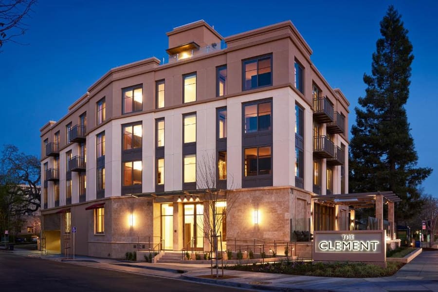
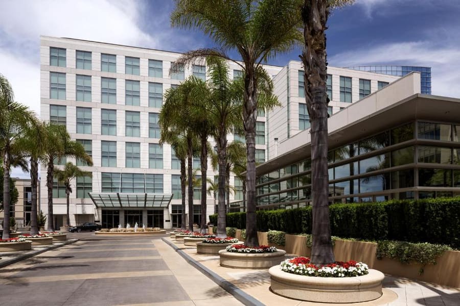
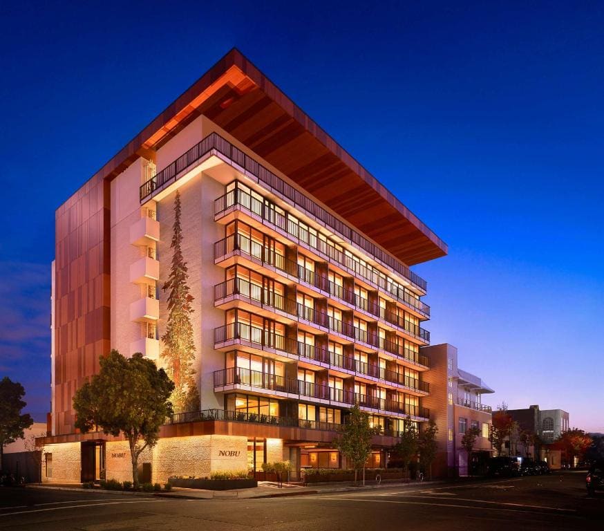
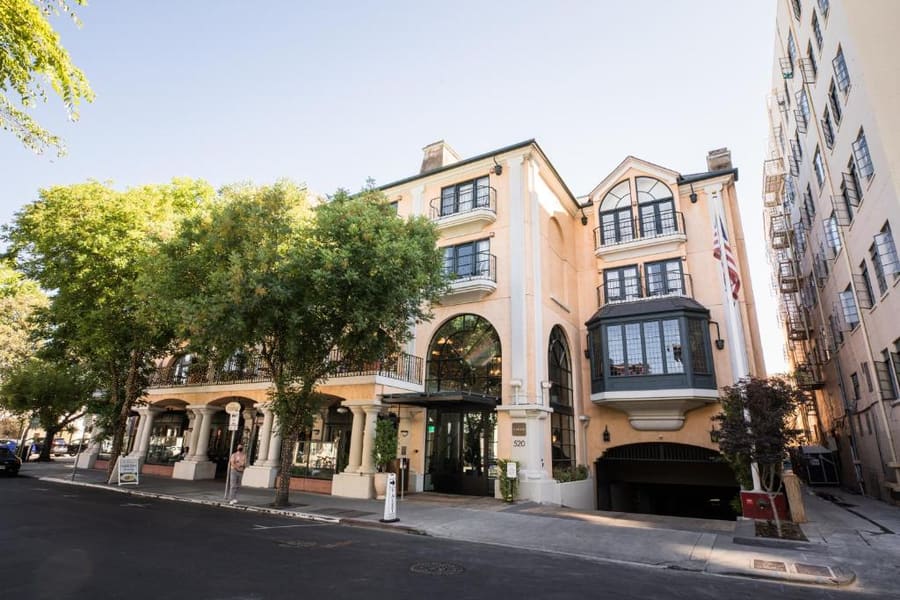
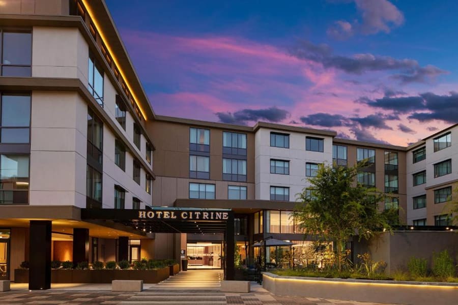
Choose your hotel location based on transit needs. Downtown offers immediate Caltrain access and walkable dining options. Properties along El Camino Real or near US-101 cater to travelers who drive or want quieter surroundings.
Live rates, matched to the areas above.
transport
Palo Alto operates on a grid bounded by El Camino Real and US-101. Caltrain connects both Palo Alto Station downtown and California Avenue Station in the California Avenue district directly to San Francisco and San Jose. The city is flat and well-suited for bicycles, with dedicated bike lanes on major corridors.
De San Francisco Airport (SFO) / San Jose Airport (SJC)
Price fluctuates with driver demand; faster than public rail from SJC.
Traffic spikes during peak weekday commute hours on US-101.
Take BART from SFO to Millbrae station, then transfer to Caltrain southbound.
Take VTA Route 60 bus to Santa Clara Caltrain, then rail northbound.
Palo Alto stations sit in Zone 3. Tap your Clipper card at the platform reader before boarding, and tap out when you exit.
Stanford operates the Marguerite bus network for free. Lines connect downtown Palo Alto station to campus locations.
Lock bicycles with heavy U-locks. High-value bikes attract theft near transit hubs and campus libraries.
Load Clipper on Apple Wallet or Google Wallet. It covers Caltrain, BART, and local transit systems across the Bay Area.
cost
Palo Alto prices reflect its position in the center of Silicon Valley. Accommodation and dining run higher than national standards. Free outdoor attractions and university art museums help balance daily expenditures.
Specialty coffee shops charge premium rates across downtown and California Avenue.
Single-plate lunches or salad bowls at mid-range spots on University Avenue.
Three-course meal at a sit-down restaurant without drinks or service tax.
seasonality
MAR – MAY
Mild temperatures and blooming flora. Stanford campus grounds are active with spring classes.
JUN – AUG
Warm and dry days. Campus grows quieter as students depart, easing hotel demand.
SEP – NOV
Warmest weather of the year. Football game weekends fill local hotel inventories.
DEC – FEB
Cool weather with seasonal rain. Clear days provide crisp views of the Santa Cruz mountains.
practicalities
Downtown structures offer two to three hours of free parking. Enforcers check timed spaces strictly.
The Stanford Dish Trail offers zero canopy shade. Carry water and wear sunscreen during midday hikes.
Commencement in mid-June fills every hotel within 15 miles. Book accommodations months ahead for these dates.
Credit cards and mobile pay systems are accepted everywhere, including food trucks and parking meters.
Check high tide schedules before visiting the marsh boardwalks for maximum shorebird activity.