landmark
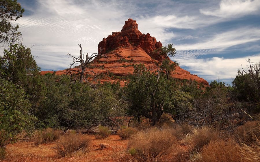
Bell Rock
A distinct dome formation south of town. Clear paths circle the base, but ascending requires trusting your shoe tread.
Tanya ParleyAmerika Serikat
Red sandstone cliffs, high-desert trails, and gridlock.
introduction
Sedona sits in a canyon carved from iron-rich sandstone two hours north of Phoenix. You arrive for red rock panoramas, but you navigate severe traffic bottlenecks along Highway 179 and State Route 89A. High-elevation desert air keeps mornings crisp before midday heat arrives. Driving early or taking local shuttles is required to secure trailhead access.
Arrival transit
Fly into Phoenix Sky Harbor and rent a car. The drive north on Interstate 17 takes two hours.
Dark Sky designation
Sedona is an official International Dark Sky Community. Outdoor lighting ordinances keep nighttime stargazing clear across the valley.
Trailhead parking
Major trailheads require the free Sedona Shuttle or a Red Rock Pass. Parking lots often fill before sunrise.
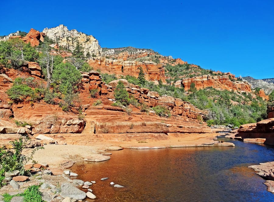
Sedona
Don Graham from Redlands, CA, USA - God bless it! · CC BY-SA 2.0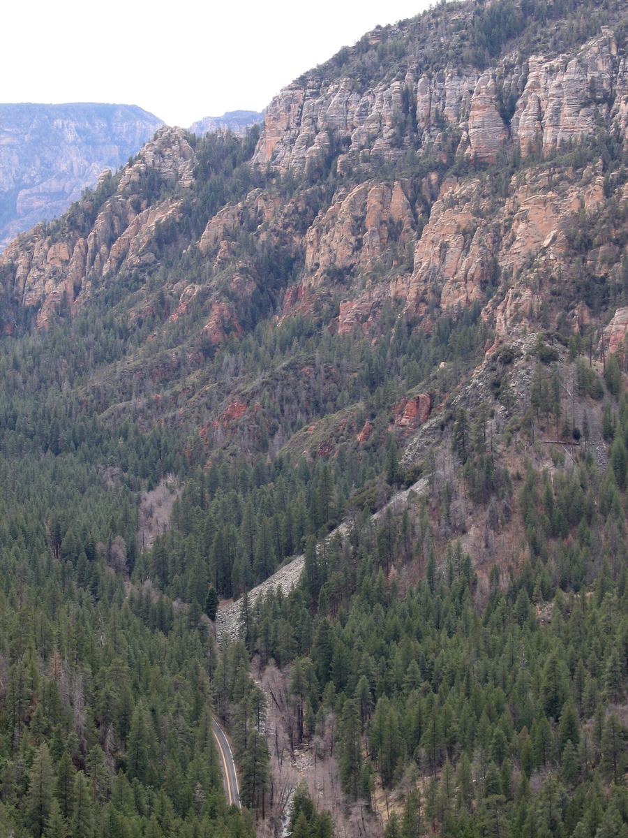
Oak Creek Canyon — Shaded forest corridor running north toward Flagstaff along a flowing creek.
Postdlf · CC BY-SA 3.0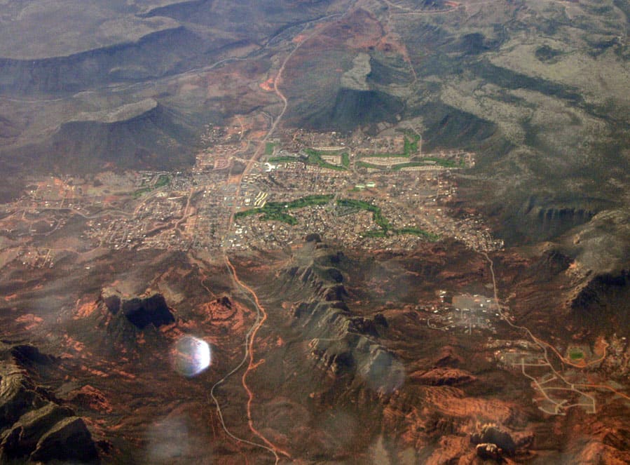
Village of Oak Creek — Relaxed community seven miles south of town with golf courses and uncrowded dining.
Jstuby at English Wikipedia · Public domain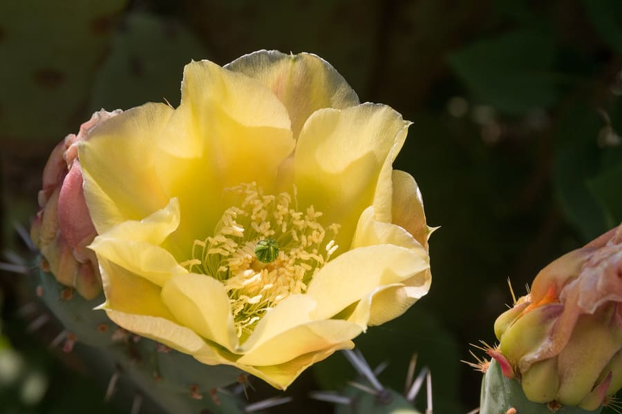
Bright magenta prickly pear syrup harvested from local opuntia cacti.
Daniel VILLAFRUELA. · CC BY-SA 4.0highlights
landmark
A distinct dome formation south of town. Clear paths circle the base, but ascending requires trusting your shoe tread.
Tanya Parley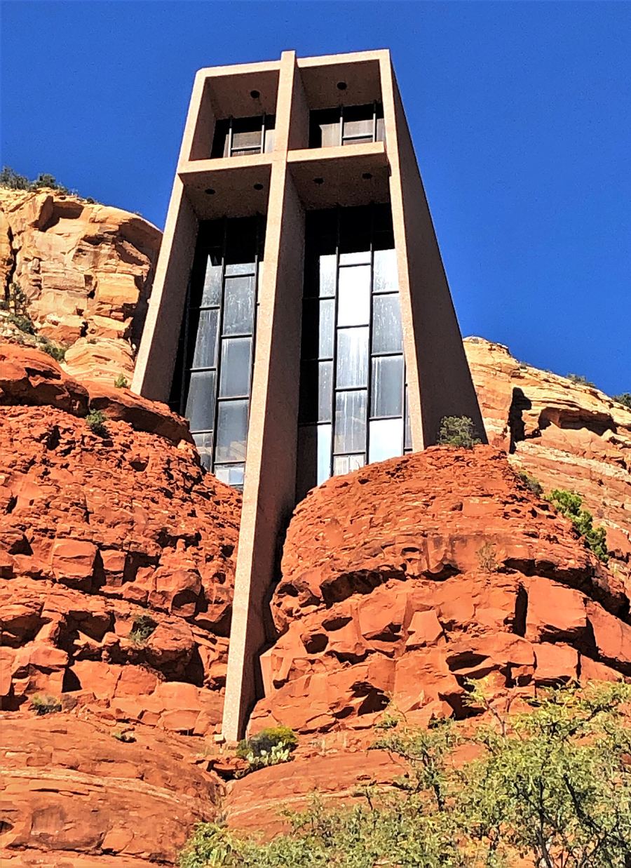
landmark
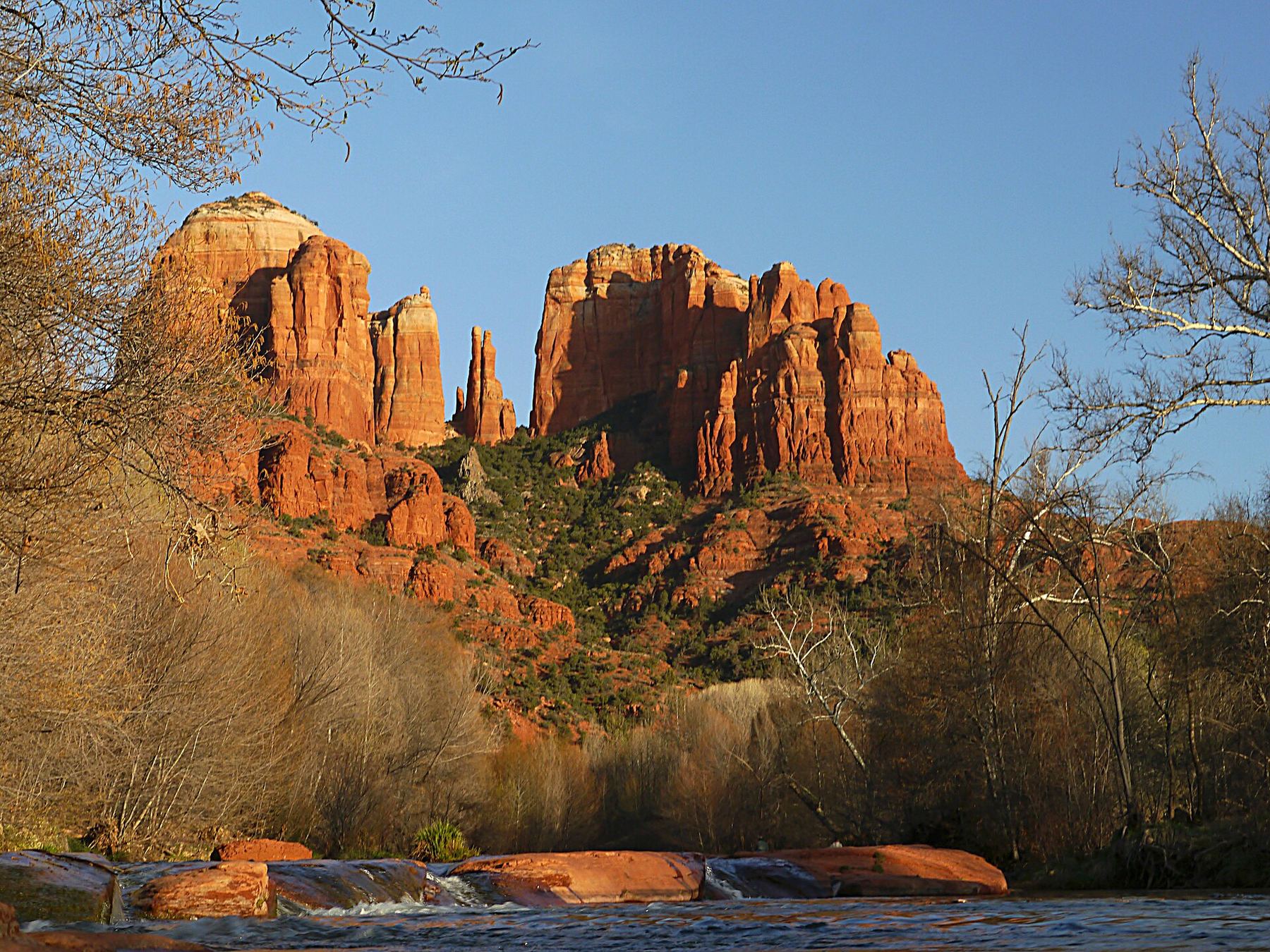
A modern chapel built directly between two red rock spires. Parking is tight; walk up the steep driveway if attendants divert you.
Tanya Parley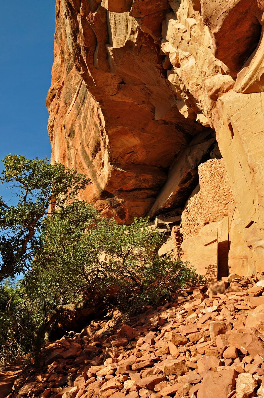
landmark
A six-mile round-trip trail trading red canyon walls for pine forests. Arrive by 6:00 AM to secure space at the trailhead.
Tanya Parleyattractions
areas
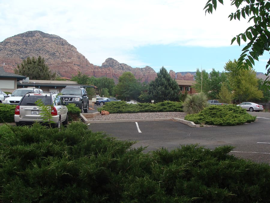
Residential strip with grocery stores, local coffee shops, and practical services.
DekatBoynton Canyon, Airport Mesa
Tanya ParleyShaded forest corridor running north toward Flagstaff along a flowing creek.
DekatSlide Rock State Park, West Fork Trail
Tanya ParleyRelaxed community seven miles south of town with golf courses and uncrowded dining.
DekatBell Rock, Courthouse Butte
Tanya ParleyTourist-heavy corridor packed with souvenir outlets, tour operators, and jeep departures.
DekatOak Creek, Highway 89A galleries
Tanya Parleyfood
Dining in Sedona leans heavily into Sonoran ingredients, wild game, and high-desert produce. Native prickly pear syrup turns up in margaritas and marinades across town. Fine dining spots concentrate along Oak Creek, while casual Southwestern grills line Highway 89A.
Bright magenta prickly pear syrup harvested from local opuntia cacti.
Daniel VILLAFRUELA. · CC BY-SA 4.0Popular tables along Oak Creek or with sunset views book out one month in advance.
Order dishes featuring smoked rattlesnake sausage, bison tenderloin, or green chile pork stew.
Many kitchens close by 8:30 PM, even on weekends. Eat early after finishing late hikes.
history
Human presence in Sedona dates back thousands of years to Ancestral Puebloan and Sinagua cultures who farmed Oak Creek. European settlers arrived in the late 19th century to plant apple orchards. Hollywood film crews later shaped the town's image, followed by tourism and wellness culture.
Sinagua Settlement
Sinagua agricultural communities construct cliff dwellings and stone structures across the Verde Valley.
Post Office Established
The federal government approves a post office named after local settler Sedona Schnebly.
Hollywood Western Era
Film studios shoot dozens of classic Western movies against the sandstone cliffs, driving national publicity.
Incorporation
Sedona incorporates as a city to manage land use, growth, and mounting tourist traffic.
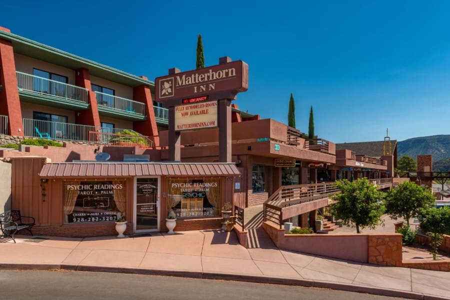
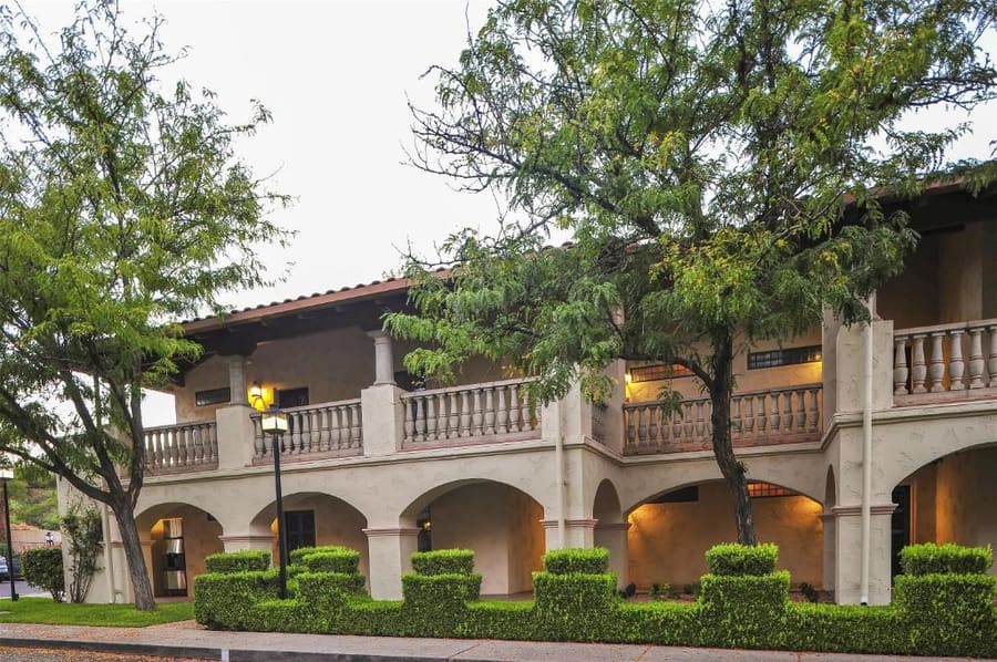
where to stay
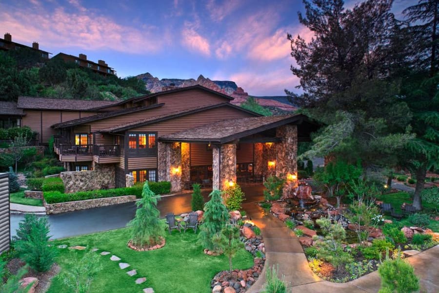
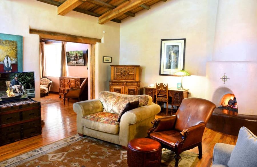
Choose your base based on whether you prefer walking to dinners or dodging main road traffic. Uptown puts shopping outside your door. West Sedona offers practical amenities, while Oak Creek Canyon trades convenience for shade and waterside seclusion.
Live rates, matched to the areas above.
transport
A private vehicle is standard for reaching Sedona, but trailhead congestion has made driving frustrating. The city operates a targeted shuttle system to major hiking spots. Understanding parking limits saves significant time.
Dari Phoenix Sky Harbor International Airport (PHX)
Highway 179 slows 10:00 AM-4:00 PM on weekends. Best option for navigating local trailheads.
Groome Transportation operates direct from terminals to Sedona drop-offs. Book ahead.
Drivers may refuse long trips. Note that cell service drops in deep canyons around town.
Pre-booked door-to-door chauffeur service. Ideal for groups or late-night airport arrivals.
Free public shuttles run from park-and-ride lots to popular trailheads like Cathedral Rock and Dry Creek.
National Forest parking requires a daily ($5) or weekly ($15) pass displayed on your windshield.
Traffic along Highway 179 slows to a crawl between 10:00 AM and 4:00 PM on weekends.
Uber and Lyft operate in town, but cell service drops inside deep canyons.
cost
Sedona commands premium resort pricing for accommodation, food, and guided recreation. Self-guided hiking keeps expenses reasonable once parking is paid.
Mandatory fee for parking at Forest Service trailheads.
Per person cost for guided off-road rock crawling tours.
Standard price for a burger or Southwestern salad in West Sedona.
Per-vehicle state park entrance fee depending on the season.
seasonality
MAR – MAY
Daytime highs hover around 22°C. Spring brings peak crowd density and high lodging rates.
JUN – AUG
Temperatures top 35°C. Afternoon monsoon rains trigger flash floods in narrow slot canyons.
SEP – NOV
Warm autumn days and crisp nights offer ideal hiking conditions across red rock trails.
DEC – FEB
Daytime highs average 12°C. Light snowfall occasionally dusts the higher red rock formations.
practicalities
Sedona sits at 1,370 metres elevation. Carry double the water you think you need.
Check radar forecasts before entering dry wash beds or slot canyons during monsoon months.
Local lore marks sites like Airport Mesa as energy vortexes; expect dense crowds at these spots.
Interagency national park passes cover parking fees in place of the local Red Rock Pass.
Streetlights are scarce outside business zones. Bring a headlamp for post-sunset trail descents.